Albuquerque Tourist Map: Old Town, Route 66 and Area Routes
Use the Old Town-Downtown-Central Avenue spine for the most coherent Albuquerque city route. Add either the West Mesa or the Sandia foothills as a separate landscape layer; trying to zigzag between both sides of the city turns a useful tourist map into a long transfer plan.
Disclosure: this article contains affiliate links. We may earn a commission if you book accommodation, activities, insurance or flights through them, at no extra cost to you.
This page owns Albuquerque city orientation. It does not replace the United States tourist map or absorb statewide New Mexico planning. For a separate national-park decision, use our Carlsbad Caverns National Park tourist map.
Interactive Albuquerque Tourist Map
The Visit Albuquerque neighbourhood guide distinguishes Old Town, Downtown, Nob Hill, the Westside and Eastside. Use those areas as planning units rather than reading the map as one compact centre.
Use this interactive tourist map of Albuquerque Tourist Map: Old Town, Route 66 and Area Routes to explore the main attractions, routes, viewpoints and practical planning areas.
Open the Albuquerque Tourist Map: Old Town, Route 66 and Area Routes tourist map in Google MapsAlbuquerque Area and Transport Matrix
| Area | Use it for | Best connection | Planning note |
|---|---|---|---|
| Old Town | Historic core and a slower first stop | Connect with Downtown | Compact on foot once there |
| Downtown | Central orientation and transport spine | Central Avenue and ART | Useful base for a corridor-led visit |
| Nob Hill and Central Avenue | Route 66 streetscape and local districts | ART corridor | Linear route rather than a loop |
| West Mesa | Landscape and west-side cultural context | Separate planned transfer | Do not bolt it onto a short Old Town walk |
| Sandia foothills | Mountain-side views and outings | Dedicated east-city transport | Separate from the central corridor |
Old Town and Downtown Route
Old Town works as a focused historic stop, while Downtown provides the stronger orientation for the modern city. Put them in the same half of the day and avoid treating the distance to the foothills as a simple walking extension.
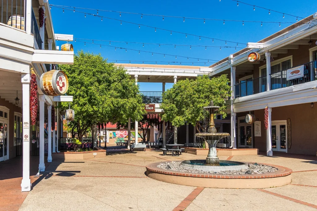
The route becomes clearer when you decide whether Old Town is the starting point or the final slower stop. From there, use Central Avenue as the line that explains how Downtown, the university area and Nob Hill relate.
Central Avenue, Route 66 and ART
The City of Albuquerque explains that Albuquerque Rapid Transit follows the historic Route 66/Central Avenue corridor and links Westside, Downtown, Old Town-adjacent stops, Nob Hill and Uptown transit hubs. Check the official page for current station, service and fare information before travel.
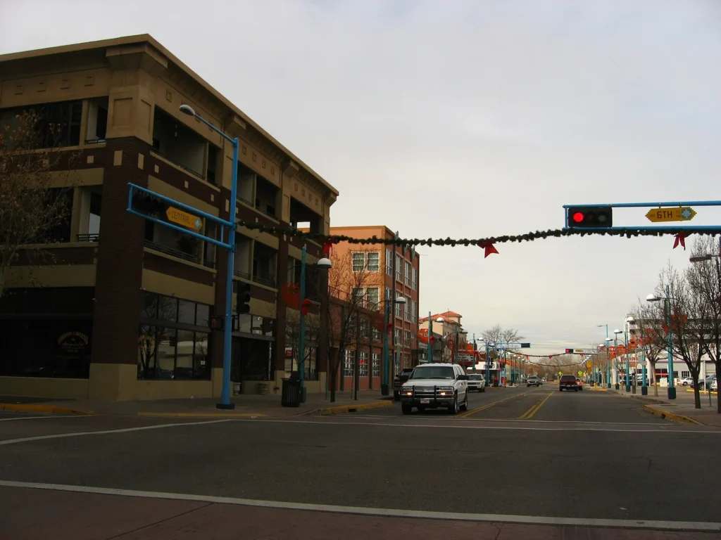
This corridor supports a more efficient city day than bouncing between unrelated attractions. Select two or three connected districts and leave enough time to explore them rather than using the route only as a transfer.
West Mesa or Sandia Foothills?
These are different choices. The West Mesa adds broad landscape and cultural context on the west side; the Sandia foothills create an east-side mountain layer. Pick the one that best matches the day rather than drawing a cross-city diagonal between both.
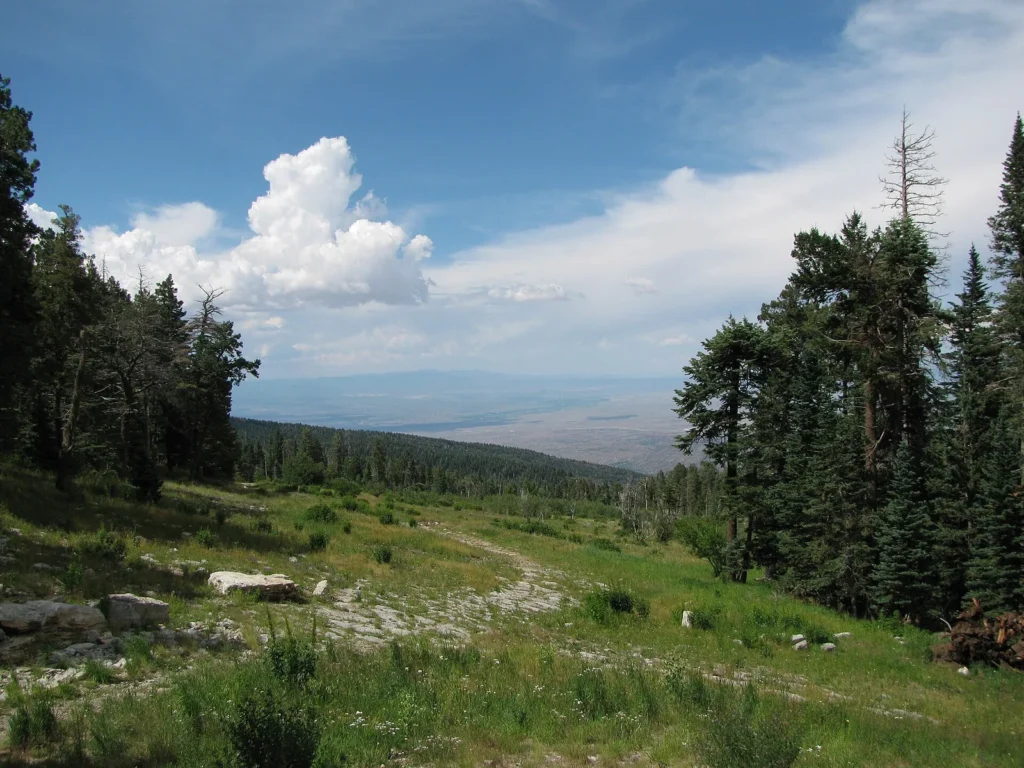
For a Sandia-side outing, verify the relevant operator or land-manager information for the exact stop. The city panorama helps with orientation, but it does not establish current tramway, trail or access conditions.
Three Albuquerque Route Options
Historic and central: Old Town, Downtown and a short Central Avenue section.
Route 66 corridor: Downtown, university-area stops and Nob Hill along Central Avenue.
City plus landscape: one compact central block followed by either West Mesa or the Sandia side, not both.
Where to Stay in Albuquerque
Old Town suits travellers prioritising the historic district. Downtown makes the Central Avenue corridor easier to understand, and Nob Hill suits a Route 66-led itinerary. A foothill base is a different choice: useful for the east side, less efficient for repeated Old Town and Downtown visits.
Find accommodation in Albuquerque
Practical Map Checks
- Use neighbourhoods and the Central Avenue corridor as the main city structure.
- Verify current ART service details on the official city page.
- Keep West Mesa and Sandia-side outings separate unless the itinerary allows a long transfer.
- Do not confuse Albuquerque with a statewide New Mexico route or with destinations in Mexico.
Frequently Asked Questions
What should an Albuquerque tourist map include?
It should show Old Town, Downtown, the Central Avenue and Nob Hill corridor, the West Mesa and the Sandia-facing east side. Those zones explain the transport trade-offs better than one attraction list.
Can Old Town and Nob Hill be combined?
Yes, when they are treated as stops on the broader Central Avenue route. Check current transit information and avoid adding a distant foothill outing to the same short schedule.
Do I need a car in Albuquerque?
The central corridor supports a transit-led plan, while landscape stops beyond it may need separate transport. Decide by zone rather than applying one answer to the whole city.
Plan activities, insurance and flights for Albuquerque
Once the map route is clear, the next practical step is checking what to book around it: guided activities, travel insurance and flight options if you are coming from abroad.
Use the activity widget below to compare current tours and tickets for Albuquerque. For the travel side, you can also review insurance with IATI and compare flights before fixing dates.
Check travel insurance with IATI Compare flights for Albuquerque