
Black Forest Tourist Map: Scenic Routes, Towns and Nature Stops
We are Ana and Kevin, and the Black Forest is exactly the kind of place where a map matters. The region is not one single stop: it is forest roads, spa towns, lakes, waterfalls, viewpoints, rail valleys and small bases that can be easy to overpack. This Black Forest tourist map helps you choose a route that feels scenic instead of rushed.
Disclosure: this article contains affiliate links. We may earn a commission if you book accommodation, activities, insurance or flights through them, at no extra cost to you.
If you are searching for a tourist map of Black Forest Germany, Black Forest map, Black Forest Germany map or Black Forest tourist attractions map, start by separating north, central and south. Baden-Baden, the Black Forest High Road, Triberg, Titisee and Freiburg are not all the same style of trip. For wider planning, compare this page with our Germany tourist map, Bavaria tourist map, Heidelberg tourist map, Romantic Route tourist map and Alsace France tourist map.
Interactive Tourist Map of the Black Forest
Use the map to group scenic roads, forest viewpoints, Baden-Baden, Triberg, Titisee, Freiburg, rail valleys and accommodation bases. The Black Forest is more rewarding when you plan by sections rather than chasing every stop.
Load the Black Forest map to group scenic roads, Triberg, Titisee, Freiburg, Baden-Baden, forest routes and practical bases.
Open the Black Forest tourist map in Google MapsBest Areas to Read on the Black Forest Map
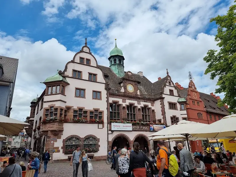
Northern Black Forest and Baden-Baden
The north works well for spa-town stays, the Black Forest High Road, viewpoints and forest drives. Baden-Baden is a practical base if you want a softer route with hotels, restaurants and access from the Rhine side.
Central Black Forest and Triberg
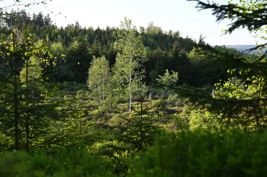
Triberg is one of the easiest central anchors because waterfalls, forest walks, cuckoo-clock stops and scenic drives cluster around it. Use it as a map midpoint, not as the only reason to visit the region.
Southern Black Forest, Titisee and Freiburg
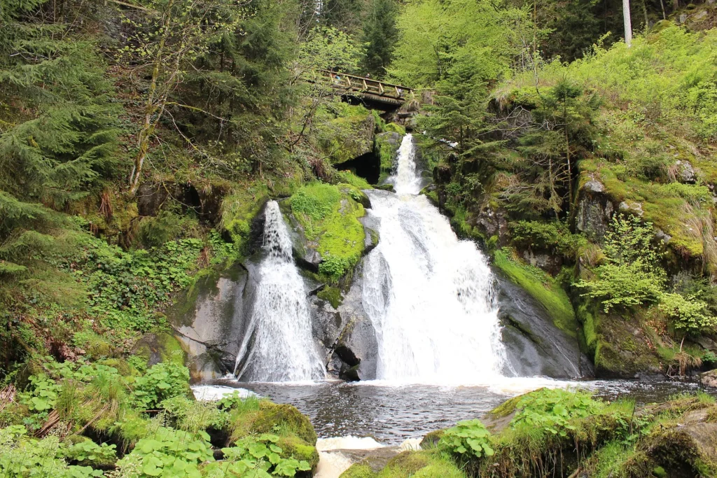
Titisee and Freiburg give the southern Black Forest a different rhythm. Titisee works for lake time and short walks; Freiburg is stronger for food, rail access and a city base before or after forest days.
Rail, roads and realistic distances
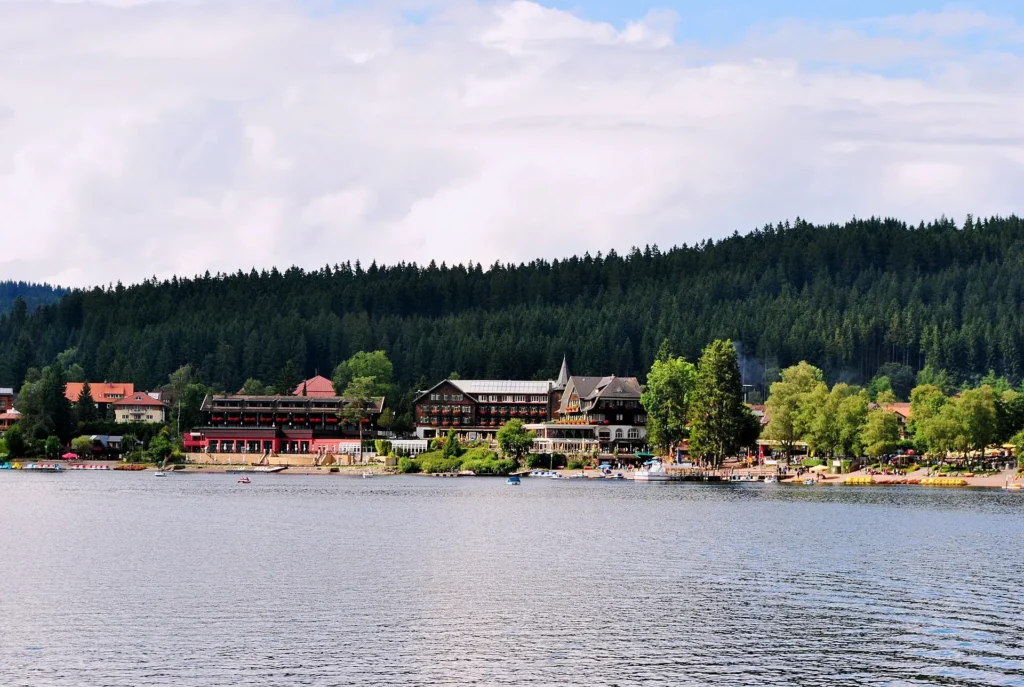
Some Black Forest routes work by train, especially if you stay in towns on the right line. But viewpoints, small villages and flexible scenic stops often need a car. Decide this before choosing accommodation.
Suggested Black Forest Routes from the Map
North route: Baden-Baden, Black Forest High Road, viewpoints and a slower spa-town base.
Central route: Triberg, waterfalls, forest walks, clock-route stops and nearby villages.
South route: Freiburg, Titisee, lake time, forest trails and optional links toward Alsace.
Two or three-day route: choose one base in the north or south, then add one central stop instead of crossing the whole region every day.
Where to Stay in the Black Forest
For map-friendly planning, compare Baden-Baden, Triberg, Titisee, Freiburg, Gengenbach and Freudenstadt. Baden-Baden is elegant and northern, Triberg is central, Titisee is lake-focused, and Freiburg is the strongest city base for transport and food.
Find accommodation in the Black Forest
Plan activities, insurance and flights for Black Forest
Once the map route is clear, the next practical step is checking what to book around it: guided activities, travel insurance and flight options if you are coming from abroad.
Use the activity widget below to compare current tours and tickets for Black Forest. For the travel side, you can also review insurance with IATI and compare flights before fixing dates.
Check travel insurance with IATI Compare flights for Black Forest
Black Forest Map Planning Checklist
Best first decision: north, central or south Black Forest.
Best transport question: will you rely on rail towns or do you need a car for scenic stops?
Best route style: fewer stops with more time outdoors.
Best mistake to avoid: treating the Black Forest as one compact attraction instead of a spread-out region.
Frequently Asked Questions about the Black Forest Tourist Map
What should be on a Black Forest tourist map?
A useful Black Forest tourist map should include Baden-Baden, the Black Forest High Road, Triberg, Titisee, Freiburg, forest routes, viewpoints, rail towns and stay bases.
Do you need a car in the Black Forest?
Not always. Trains work for some towns, but a car is useful for viewpoints, small villages, flexible scenic roads and nature stops away from rail lines.
Where should you stay in the Black Forest?
Baden-Baden is good for the north, Triberg is central, Titisee works for lake and nature plans, and Freiburg is the strongest city base.
How many days do you need for the Black Forest?
Two days can cover one section well. Three to five days are better if you want north, central and south without spending the trip in transfers.