Heidelberg Tourist Map: Old Town, Castle, Neckar and Viewpoints
We are Ana and Kevin, and Heidelberg is much easier to understand when the map is split into layers: the Old Town, the castle above it, the Neckar river, the Old Bridge, the Philosophenweg viewpoint side, station arrival routes and places to stay. This Heidelberg tourist map is built as a city hub, while our Heidelberg Old Town map stays focused on the historic centre itself.
Disclosure: this article contains affiliate links. We may earn a commission if you book accommodation, activities, insurance or flights through them, at no extra cost to you.
If you are searching for a Heidelberg tourist map, Heidelberg old town map, Heidelberg castle map or Heidelberg walking map, start with the Altstadt and castle, then add river viewpoints and arrival logistics. For a wider Germany route, compare this page with our Germany tourist map, Rhine Valley tourist map, Mainz tourist map, Bonn tourist map and Black Forest tourist map.
Interactive Tourist Map of Heidelberg
Use the map to group Hauptstrasse, Marktplatz, Schloss Heidelberg, the funicular area, Alte Bruecke, the Neckar river, Philosophenweg, station access and stay zones. The old centre is compact, but the viewpoint and castle layers change the route shape.
Load the Heidelberg map to group the Old Town, castle, Old Bridge, Neckar river, Philosophenweg, station arrival layer and stay areas.
Open the Heidelberg tourist map in Google MapsBest Areas to Read on the Heidelberg Map
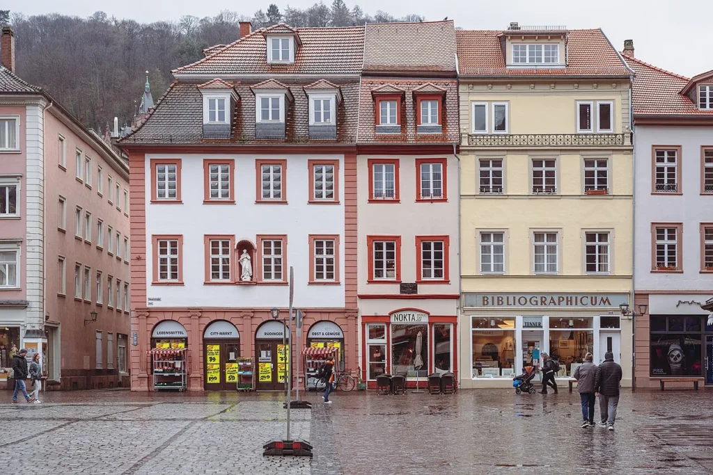
Old Town, Hauptstrasse and market squares
Hauptstrasse is the easiest walking spine. We would read the Old Town from Bismarckplatz or the station side toward Marktplatz and Kornmarkt, then decide whether the focused Heidelberg Old Town tourist map deserves its own tab for a slower historic-centre route.
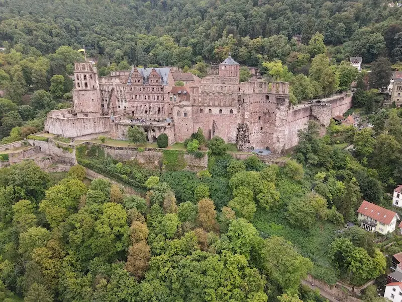
Heidelberg Castle, gardens and upper route
The castle is close to the Old Town on the map, but it belongs to a different layer because of the climb, funicular option and time needed for views. Put it after the Old Town core if you want a classic first visit, or make it the first anchor if viewpoints matter most.
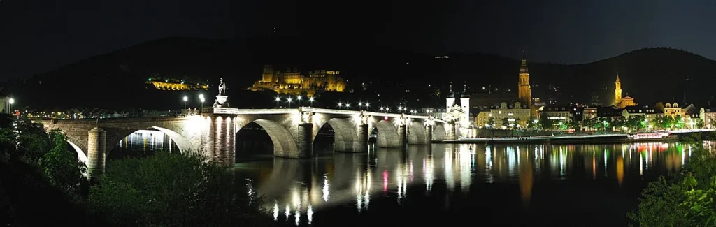
Old Bridge, Neckar river and photo viewpoints
The Old Bridge gives Heidelberg a clear river crossing and one of the best orientation points. It also helps you decide whether to stay on the Altstadt side or cross toward the opposite bank for a wider view of the castle and river bend.
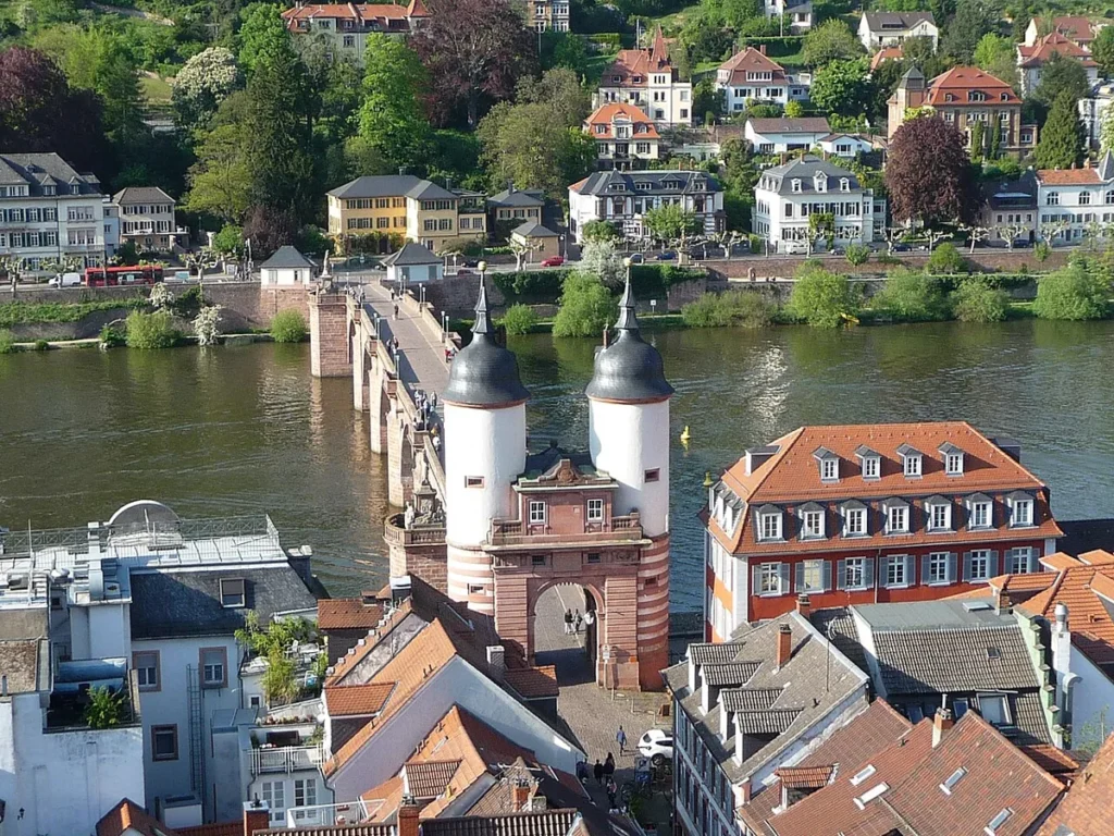
Philosophenweg and opposite-bank walking route
Philosophenweg is not just another central street. Treat it as the panoramic layer of the map: slower, hillier and best when you have enough time for the view back toward the castle and Old Town instead of squeezing it into a rushed centre loop.
Station, transport and arrival layer
Heidelberg Hauptbahnhof is west of the postcard core. Before choosing your first stop, decide whether you will walk, use local transport or start from Bismarckplatz. This prevents the day from becoming a long straight-line slog before the good parts begin.
Suggested Heidelberg Walking Routes from the Map
Classic half day: Bismarckplatz or Old Town arrival, Hauptstrasse, Marktplatz, Old Bridge, river viewpoint and castle exterior or funicular layer.
Full day route: Old Town, castle and gardens, Old Bridge, Philosophenweg and a slower food stop before returning to the river or stay area.
Viewpoint route: start with the castle or opposite-bank walk, then use the Old Town as the compact finish rather than trying to add every museum.
Germany route connection: Heidelberg pairs well with Mainz, the Rhine Valley, Bonn and the Black Forest because each page solves a different map problem: city, river corridor, former capital and forest region.
Where to Stay in Heidelberg for Easy Map Routes
For a first visit, compare Altstadt, Bismarckplatz, near Heidelberg Hauptbahnhof and Neuenheim. Altstadt is best for sightseeing, Bismarckplatz is practical for transport, the station side helps with rail arrivals, and Neuenheim is useful if river views and a calmer base matter more.
Find accommodation in Heidelberg
Plan activities, insurance and flights for Heidelberg
Once the map route is clear, the next practical step is checking what to book around it: guided activities, travel insurance and flight options if you are coming from abroad.
Use the activity widget below to compare current tours and tickets for Heidelberg. For the travel side, you can also review insurance with IATI and compare flights before fixing dates.
Check travel insurance with IATI Compare flights for Heidelberg
Heidelberg Map Planning Checklist
Best first anchor: Hauptstrasse and Marktplatz for the Old Town, or the castle if viewpoints are the priority.
Best route layer: Old Town first, then castle or Neckar viewpoints, then Philosophenweg if time allows.
Best cluster note: use this page as the Heidelberg city hub and the Old Town page as the detailed historic-centre satellite.
Best mistake to avoid: treating the castle, Old Town and Philosophenweg as the same easy flat walk.
Frequently Asked Questions about the Heidelberg Tourist Map
What should be on a Heidelberg tourist map?
A useful Heidelberg tourist map should include the Old Town, Hauptstrasse, Marktplatz, Heidelberg Castle, the Old Bridge, Neckar river viewpoints, Philosophenweg, station arrival routes and stay areas.
Is Heidelberg easy to visit on foot?
The Old Town is very walkable, but the castle and Philosophenweg add climbs and extra time. A map helps separate the flat centre from the viewpoint and transport layers.
Should I use the Heidelberg city map or the Old Town map?
Use this Heidelberg city map for the whole visit, including castle, river, station and stay areas. Use the Heidelberg Old Town map when you want a more focused historic-centre route.
Where should a first Heidelberg route start?
If you arrive by train, start by choosing the link from the station to Bismarckplatz or the Old Town. Once central, Hauptstrasse and Marktplatz make the easiest first anchors.