
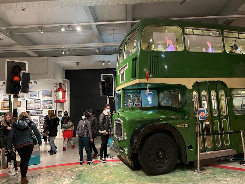
Bristol Tourist Map: Harbourside, Clifton and Old City
For a compact Bristol day, connect Temple Meads, the Old City and Harbourside. Add Clifton only as a deliberate uphill extension. The city is walkable in sections, but the harbour curve and the climb toward Brandon Hill and Clifton make a zone-based map more useful than a flat attraction list.
Disclosure: this article contains affiliate links. We may earn a commission if you book accommodation, activities, insurance or flights through them, at no extra cost to you.
This page owns Bristol's urban route. It does not merge Bristol into Cornwall or the Cotswolds, and it does not replace the recently curated Bath tourist map. Use the Cotswolds tourist map for the rural region and the England tourist map for the national layer.
Interactive Bristol Tourist Map
Use the map to connect Temple Meads, Castle Park, the Old City, Queen Square, Harbourside, M Shed, SS Great Britain, Brandon Hill and Clifton. The official Bristol maps and guides provide printable city-centre, regional, Clifton and transport backups.
Use this interactive tourist map of Bristol to explore the main attractions, routes, viewpoints and practical planning areas.
Open the Bristol tourist map in Google MapsChoose a Bristol Zone
| Zone | Best for | Natural connections | Walking note |
|---|---|---|---|
| Temple Meads and Old City | Rail arrival and central orientation | Castle Park, St Nicholas Market, Queen Square | Good first city spine |
| Harbourside | Museums, waterfront and slower exploration | M Shed, Wapping Wharf, SS Great Britain | The harbour curve adds distance |
| Brandon Hill | Viewpoint and transition | Cabot Tower, Park Street, centre | Noticeable climb |
| Clifton | Bridge, village streets and gorge views | Suspension Bridge and Clifton Village | Best as a deliberate extension |
Old City and Temple Meads Route
From Temple Meads, use Castle Park and the Old City as the first orientation layer. This route works for a shorter visit because it connects the station to central streets, markets and Queen Square before committing to the full harbour circuit.
If arrival time is limited, keep Clifton for another day. Adding the bridge to a compact station-and-centre route changes both distance and elevation.
Harbourside Route
The Bristol City Council harbour information describes the Floating Harbour as a waterfront district of quays, museums, cultural attractions and public spaces. Read it as a curved route: central Harbourside and M Shed come before the western dockyard around SS Great Britain.
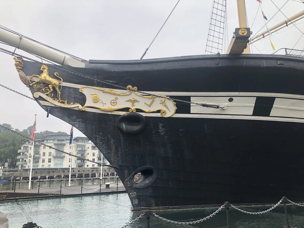
A practical harbour day can start near Queen Square, continue past central waterfront stops and M Shed, then decide whether SS Great Britain justifies the western extension. The return does not need to repeat every quay; use the map to choose a bridge or transport connection.
Brandon Hill and Clifton Extension
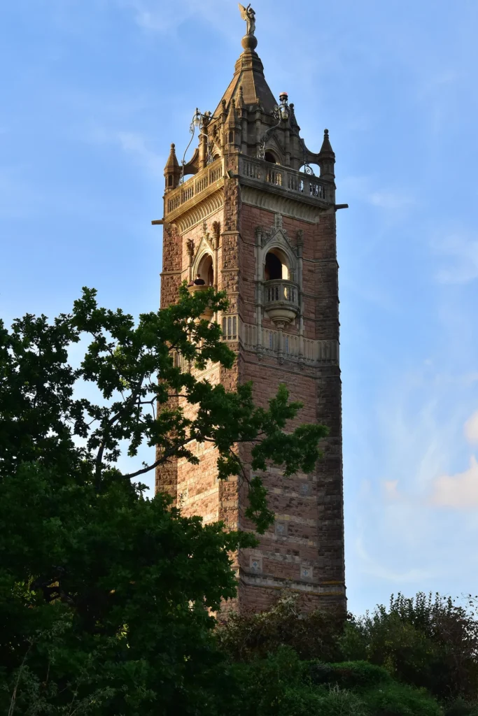
Cabot Tower on Brandon Hill explains the transition from low waterfront routes toward higher ground. It works as a viewpoint stop, but it also signals that the route is no longer flat.
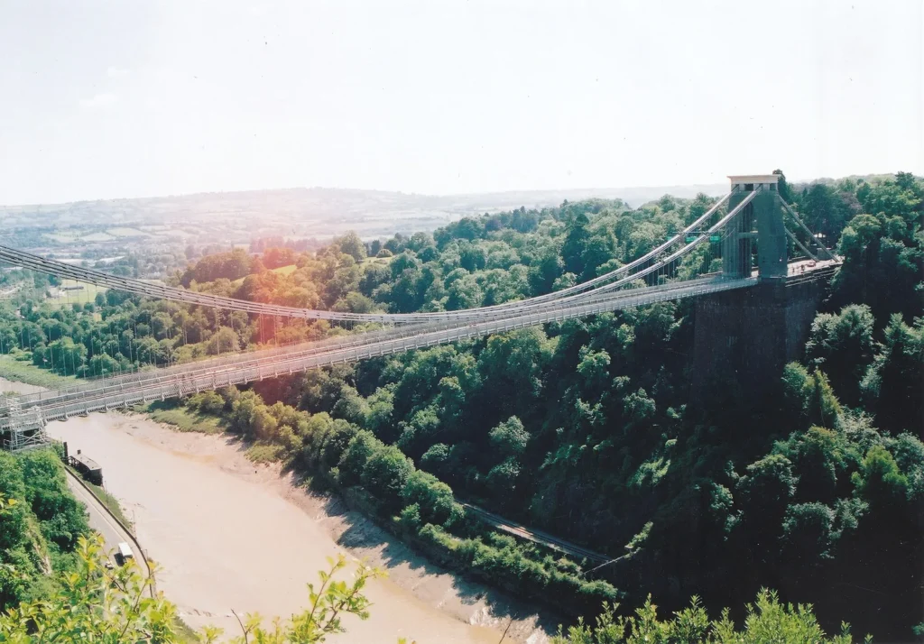
Clifton Suspension Bridge and Clifton Village form a separate city layer. Add them after the centre and Harbourside only when the group has time and energy for the climb, or use public transport to avoid turning the final section into an unwanted uphill march.
Three Bristol Route Options
Short central route: Temple Meads, Castle Park, Old City, Queen Square and central Harbourside.
Harbour day: Old City, M Shed, Wapping Wharf, SS Great Britain and a chosen return bridge.
Full city route: central route, Harbourside, Brandon Hill and Clifton, with transport used strategically if the climb or return distance is too much.
Where to Stay in Bristol
Old City and central Bristol suit a first sightseeing trip. Harbourside suits museums and evening waterfront time. Temple Meads is practical for rail connections, while Clifton suits a quieter base when the bridge and village atmosphere matter more than immediate station access.
Frequently Asked Questions
Is Bristol easy to explore on foot?
The Old City and central Harbourside are walkable, but the harbour route adds distance and Clifton adds a substantial uphill layer. Split the city into zones rather than assuming one flat loop.
What should a Bristol tourist map include?
It should show Temple Meads, Castle Park, Old City, Queen Square, Harbourside, M Shed, SS Great Britain, Brandon Hill, Clifton Village and Clifton Suspension Bridge.
Can Bristol and Bath be combined?
They can share a wider trip, but each deserves its own city route. Keep Bristol's harbour and Clifton map separate from Bath's Roman and Georgian walking map.
Plan activities, insurance and flights for Bristol
Once the map route is clear, the next practical step is checking what to book around it: guided activities, travel insurance and flight options if you are coming from abroad.
Use the activity widget below to compare current tours and tickets for Bristol. For the travel side, you can also review insurance with IATI and compare flights before fixing dates.
Check travel insurance with IATI Compare flights for Bristol