
Bath Tourist Map: Roman Baths, Georgian Streets and Walking Route
We are Ana and Kevin, and Bath is a city where a map should stop you from zigzagging. The Roman Baths, Bath Abbey, Royal Crescent, The Circus, Pulteney Bridge, Parade Gardens, river paths and Bath Spa station are all close enough to walk, but they belong to different layers. This Bath tourist map keeps the Roman core, Georgian streets and river route easy to read.
Disclosure: this article contains affiliate links. We may earn a commission if you book accommodation, activities, insurance or flights through them, at no extra cost to you.
If you are searching for a tourist map of Bath, Bath tourist map, walking map of Bath city centre or Bath attractions map, start with the Roman Baths and Abbey, then add the Georgian crescents and river layer. For a wider UK route, compare this page with our England tourist map, Oxford tourist map, Cambridge tourist map, York tourist map and Brighton tourist map.
Interactive Tourist Map of Bath
Use the map to group the Roman Baths, Bath Abbey, Pump Room area, Royal Crescent, The Circus, Pulteney Bridge, Parade Gardens, river views, station arrival and places to stay. Bath is walkable, but a good order makes the city feel calm instead of crowded.
Load the Bath map to group the Roman Baths, Bath Abbey, Royal Crescent, The Circus, Pulteney Bridge, river paths, station arrival and stay areas.
Open the Bath tourist map in Google MapsBest Areas to Read on the Bath Map
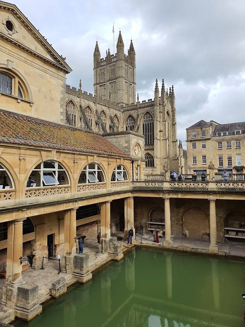
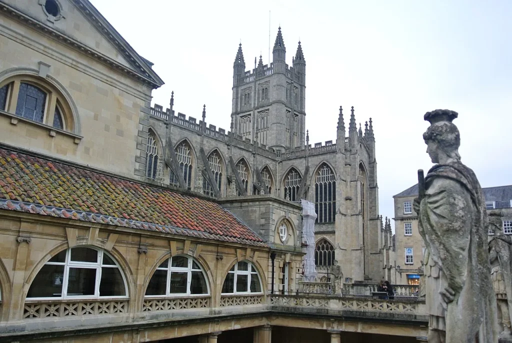
Roman Baths, Bath Abbey and the historic core
The Roman Baths and Bath Abbey are the strongest first anchors. We would place them at the centre of the route, then decide whether you want to add museums, shopping streets, the river or Georgian architecture before choosing where to stay.
Royal Crescent, The Circus and Georgian Bath
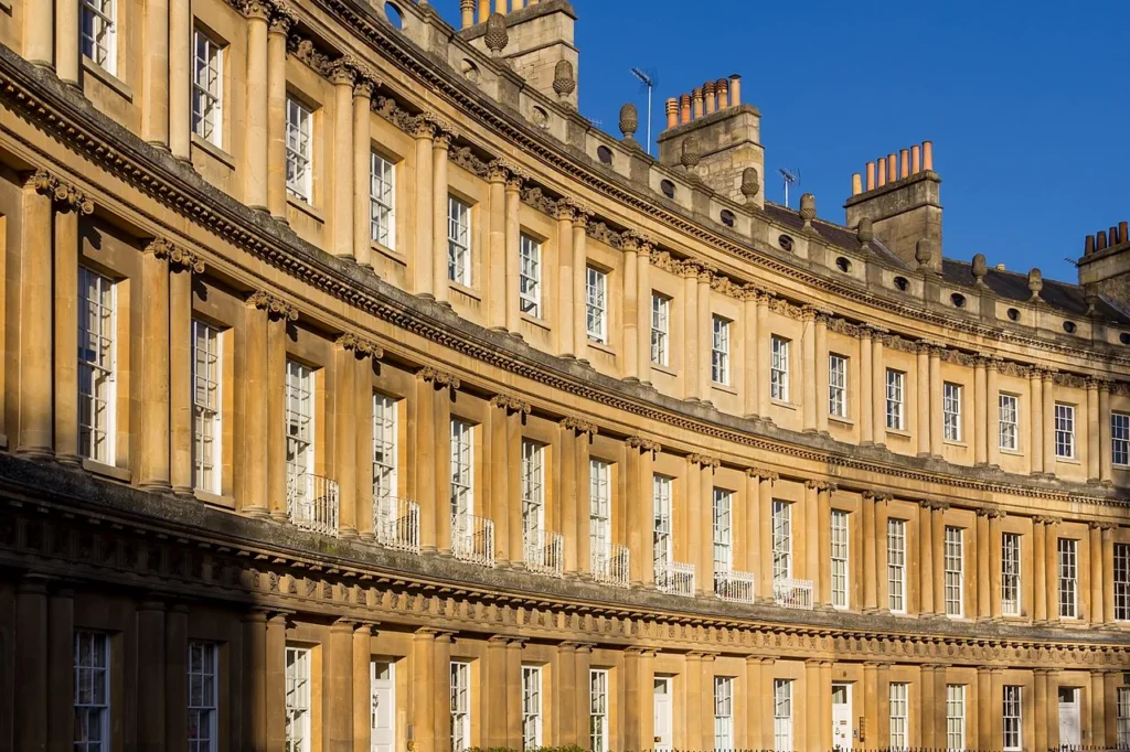
Royal Crescent and The Circus should be read as the Georgian layer of the map. They are not far from the core, but they pull the route uphill and west, so add them as a deliberate loop rather than a quick afterthought.
Pulteney Bridge, Parade Gardens and river views
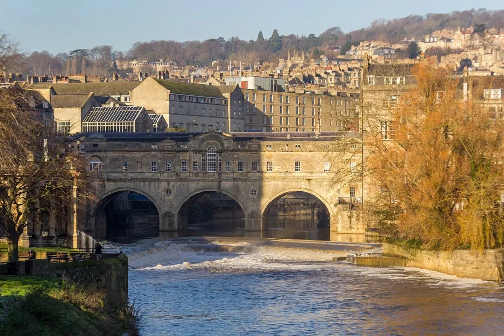
Pulteney Bridge gives Bath a clean river orientation point. It works well after the Abbey/Roman Baths core, especially if you want Parade Gardens, river views, Great Pulteney Street or a softer finish to the walk.
Station arrival, SouthGate and practical walking order
Bath Spa station sits close enough to walk into the centre, but the first ten minutes shape the day. If you arrive by train, use SouthGate and the Abbey area as the practical arrival layer before deciding whether the Georgian loop comes before or after the river.
Bath surroundings and short add-ons
Bath can be paired with countryside walks, Bristol, the Cotswolds or wider southwest England, but this page keeps the city map self-contained. Do not use London as the parent by default; Bath deserves its own walking-map route.
Suggested Bath Walking Routes from the Map
Classic half day: Bath Spa station, Roman Baths, Bath Abbey, Pulteney Bridge, river view and a short central shopping or cafe stop.
Full day route: Roman Baths and Abbey, Pulteney Bridge, Royal Crescent, The Circus, Parade Gardens and enough slow time for meals or museums.
Georgian architecture route: build the walk around Royal Crescent, The Circus, Queen Square and connecting streets, then return to the Roman core.
Rain-friendly route: keep the Roman Baths, Abbey, museums and covered food stops close to the map, then use dry gaps for Royal Crescent and the river.
Where to Stay in Bath for Easy Map Routes
For a first visit, compare Bath city centre, near Bath Spa station, around Royal Crescent/The Circus and the river or Pulteney Bridge side. City centre is best for sightseeing, the station side is practical, the Georgian side feels quieter, and the river side works well for views and slower evenings.
Plan activities, insurance and flights for Bath
Once the map route is clear, the next practical step is checking what to book around it: guided activities, travel insurance and flight options if you are coming from abroad.
Use the activity widget below to compare current tours and tickets for Bath. For the travel side, you can also review insurance with IATI and compare flights before fixing dates.
Bath Map Planning Checklist
Best first anchor: Roman Baths and Bath Abbey.
Best second layer: choose either Georgian Bath or the river before adding extra stops.
Best route shape: compact centre first, then Royal Crescent/The Circus or Pulteney Bridge depending on your energy.
Best mistake to avoid: treating every Bath sight as one flat, direct line from the station.
Frequently Asked Questions about the Bath Tourist Map
What should be on a Bath tourist map?
A useful Bath tourist map should include the Roman Baths, Bath Abbey, Royal Crescent, The Circus, Pulteney Bridge, Parade Gardens, Bath Spa station, river viewpoints and central stay areas.
Is Bath easy to visit on foot?
Yes. The centre is very walkable, but some Georgian routes climb away from the Roman core. A map helps you decide when to add Royal Crescent, The Circus or river viewpoints.
Where should a Bath walking route start?
If you arrive by train, start from Bath Spa station and walk toward the Abbey/Roman Baths core. If you are already central, use the Roman Baths as the first anchor.
Do you need London as the parent route for Bath?
No. Bath works as a self-contained city walking map. London can be a wider UK comparison, but it should not define the Bath route.