Cornwall Tourist Map: Best Bases, Coastal Zones and Routes
A Cornwall map becomes useful only after the county is split into practical zones. West Cornwall suits St Ives, Penzance, Porthcurno and Land's End; the north coast suits Padstow, Newquay and Tintagel; the south suits Falmouth and the Roseland; and an east-Cornwall gateway reduces travel time when the route continues toward Devon. Choose the base before choosing the sights.
Disclosure: this article contains affiliate links. We may earn a commission if you book accommodation, activities, insurance or flights through them, at no extra cost to you.
This page owns the regional planning layer. The Tintagel tourist map is the detailed castle-and-village satellite, while the Falmouth tourist map remains a town-level guide. For the national context, use the England tourist map.
Interactive Cornwall Tourist Map
Use the interactive map to group coastal zones, rail gateways, towns and stay areas. Do not read every pin as a one-day route; Cornwall's road shape makes a short list in one zone more useful than a long cross-county checklist.
Use this interactive tourist map of Cornwall to explore the main attractions, routes, viewpoints and practical planning areas.
Open the Cornwall tourist map in Google MapsChoose a Cornwall Base by Zone
| Base area | Best for | Good route pairings | Trade-off |
|---|---|---|---|
| St Ives or Penzance | West Cornwall | St Ives, Porthcurno, Land's End, Mount's Bay | Long transfers to Tintagel and the far east |
| Newquay or Padstow area | North-coast beaches and coastal towns | Newquay, Padstow and selected north-coast stops | Not a shortcut to every west-Cornwall sight |
| Falmouth or Truro | South-coast access and rail connections | Falmouth, Truro, Roseland and branch-line days | Tintagel remains a separate north-coast journey |
| East Cornwall | Shorter arrival from Devon | Bodmin area, Tamar side and onward travel | Less convenient for repeated far-west days |
Build the Route by Coast, Not by Fame
West Cornwall: St Ives, Porthcurno and Land's End
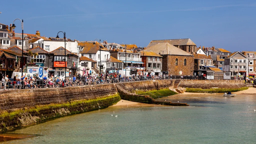
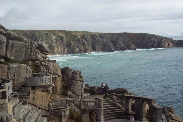
West Cornwall is the strongest reason to use St Ives or Penzance as a base. Group St Ives with its own beaches and art layer, then use a separate day for Porthcurno, the Minack and Land's End. This avoids turning narrow coastal roads into the main activity.
North Cornwall: choose a town cluster or Tintagel
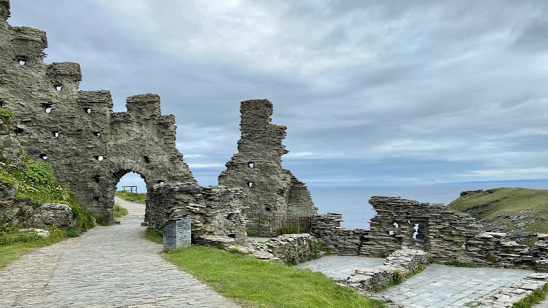
Padstow, Newquay and Tintagel are not one compact walk. Tintagel deserves its own day-plan because castle access, terrain and village stops create a different task from a beach-town route. Use the satellite map instead of duplicating its details here.
South Cornwall: Falmouth, Truro and branch-line options
Falmouth and Truro make a practical southern pair. They also work better than a far-west base when rail access and a less car-dependent itinerary matter. The official Visit Cornwall travel guidance outlines the rail, bus and ferry layers available across the county.

Can Cornwall Work without a Car?
Yes, but the route must follow transport corridors rather than an unrestricted pin list. Mainline rail reaches Cornwall, branch lines serve selected coastal areas, and buses or ferries can complete some journeys. Use Cornwall Council public transport information to check current buses, rail links, park-and-ride options and disruption notices before fixing the order.
Service patterns can change with season, engineering work and local disruption. Avoid publishing or relying on a fixed timetable inside a general guide; link to the current operator information instead.
Three Cornwall Route Shapes
West-Cornwall long weekend: St Ives, Penzance or Mount's Bay, then Porthcurno and Land's End.
North-coast break: choose Padstow/Newquay or Tintagel as the main purpose; add only nearby stops that fit the same coast.
Car-free southern route: use Truro and Falmouth as anchors, then add a branch-line or ferry day supported by current schedules.
Where to Stay in Cornwall
Stay in St Ives or Penzance for a far-west trip, Falmouth or Truro for a southern and more rail-friendly route, or a north-coast base when beaches and Tintagel shape the itinerary. A two-base trip becomes worthwhile only when it removes repeated cross-county travel.
Find accommodation in Cornwall
Frequently Asked Questions
What is the best base for a first Cornwall trip?
There is no universal base. St Ives or Penzance suit the west, Falmouth or Truro suit the south, and a north-coast base suits Padstow, Newquay or Tintagel.
How many days are useful for Cornwall?
A focused zone can work over a long weekend. A route covering west, north and south Cornwall needs more time or a second base to avoid excessive driving.
Does this page replace the Tintagel map?
No. Cornwall is the regional hub; Tintagel remains the focused satellite for the castle, village, access and nearby coastal walks.
Plan activities, insurance and flights for Cornwall
Once the map route is clear, the next practical step is checking what to book around it: guided activities, travel insurance and flight options if you are coming from abroad.
Use the activity widget below to compare current tours and tickets for Cornwall. For the travel side, you can also review insurance with IATI and compare flights before fixing dates.
Check travel insurance with IATI Compare flights for Cornwall