Tintagel Tourist Map: Castle, Village and Coastal Walks
Plan Tintagel in three layers: the village for easier stops, Tintagel Castle for the timed and steep part of the day, and Rocky Valley or the coast as an optional extension. Do not treat them as one flat loop. Check current castle conditions first, then decide how much walking suits the group.
Disclosure: this article contains affiliate links. We may earn a commission if you book accommodation, activities, insurance or flights through them, at no extra cost to you.
This is the focused Tintagel satellite. Use the Cornwall tourist map to choose a regional base and the England tourist map for a wider route. This page does not attempt to cover all of Cornwall or present Arthurian legend as settled history.
Interactive Tintagel Map
Load the map to separate village parking and bus arrival, the Old Post Office, Castle Road, the castle entrance, the island, Tintagel Haven and optional coastal extensions. Save the Google Maps fallback before relying on mobile coverage.
Use this interactive tourist map of Tintagel to explore the main attractions, routes, viewpoints and practical planning areas.
Open the Tintagel tourist map in Google MapsRead the Tintagel Map in Three Layers
1. Village: orientation and easier stops
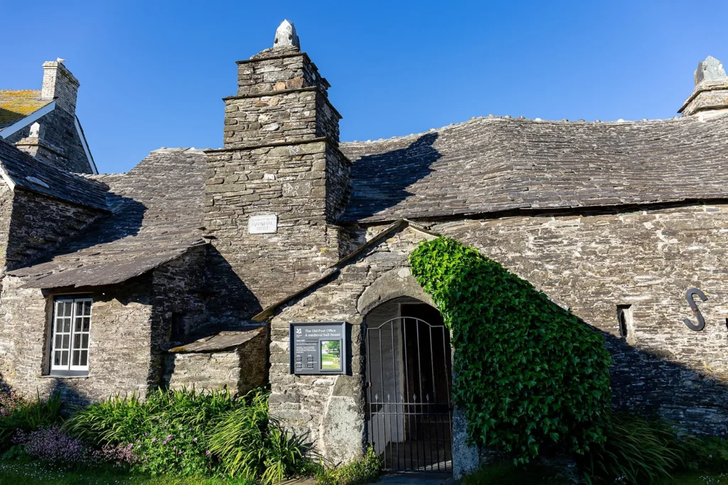
The village contains the visitor-arrival layer, shops, food stops and Tintagel Old Post Office. The National Trust visitor information for Tintagel Old Post Office notes uneven levels, steep stairs, limited accessibility and no on-site parking. It belongs in the village loop, not inside the castle timing.
2. Castle: timed entry, slope and exposed terrain
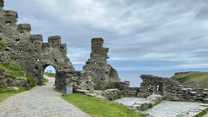
Tintagel Castle occupies the headland and island below the village. English Heritage plan-your-visit information should be checked for current opening, weather, shuttle and access details. Village car parks are separate from the site, and the approach includes uneven and steep terrain.
3. Coast: add only with time and suitable conditions
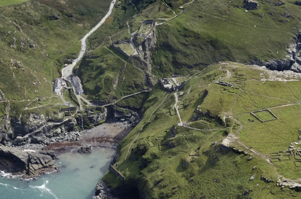
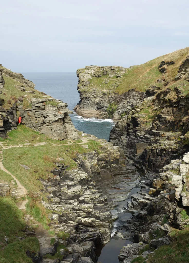
Tintagel Haven, Merlin's Cave and longer coastal options depend on tide, weather, terrain and available time. Rocky Valley is a separate extension rather than a shortcut between village sights. Keep it optional if the castle already fills the main walking window.
Suggested Tintagel Day Plans
| Plan | Order | Best for | What to skip |
|---|---|---|---|
| Castle-first | Arrival, castle, village | Visitors with a fixed entry time | Long coastal extension |
| Village and coast | Old Post Office, village, short coast | Groups avoiding the full castle terrain | Do not imply the castle is included |
| Full active day | Castle, village, selected coastal walk | Prepared walkers with enough daylight | Extra distant Cornwall stops |
For a castle booking, build the rest of the day around the current entry conditions rather than forcing a fixed published timetable. High winds and poor weather can affect access, so recheck the operator page close to departure.
Arriving and Moving around Tintagel
The main arrival decision is whether to use village parking, a bus connection or a longer regional route from a Cornwall base. From the village, allow for the walk toward the castle entrance and the return climb. The map should show the separation instead of presenting the attraction as roadside access.
Wear footwear suited to uneven paths and exposed ground. For reduced mobility, compare the village layer and individual access statements before committing to the island route.
Where to Stay for Tintagel
Stay in Tintagel village when the castle and coast are the main purpose, or use a broader north-Cornwall base when Tintagel is one day within a longer route. Avoid choosing a far-west base and assuming the transfer is a quick coastal hop.
Find accommodation in Tintagel
Frequently Asked Questions
How far is Tintagel Castle from the village?
The castle is below the village and reached on foot from the arrival and parking area. The route includes slopes and uneven ground, so distance alone does not describe the effort.
Does Tintagel Castle require advance planning?
Yes. Check current opening, admission, weather and access information with English Heritage before travel; do not rely on a price or timetable copied into an undated guide.
Can Rocky Valley be added to the castle visit?
It can be an additional coastal walk for prepared visitors, but it should remain optional when terrain, weather, daylight or castle timing makes the full day too ambitious.
Plan activities, insurance and flights for Tintagel
Once the map route is clear, the next practical step is checking what to book around it: guided activities, travel insurance and flight options if you are coming from abroad.
Use the activity widget below to compare current tours and tickets for Tintagel. For the travel side, you can also review insurance with IATI and compare flights before fixing dates.
Check travel insurance with IATI Compare flights for Tintagel