Friuli Venezia Giulia Tourist Map: Regions and Routes
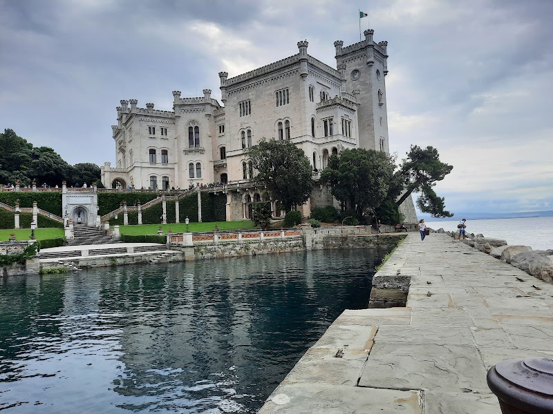
Start by choosing the Friuli Venezia Giulia subregion you want to base in. Trieste, the Karst, the coast, hill towns and the mountains are close enough to compare on one regional map, but not close enough to treat as one casual day.
Disclosure: this article contains affiliate links. We may earn a commission if you book accommodation, activities, insurance or flights through them, at no extra cost to you.
This page owns the regional orientation layer for Friuli Venezia Giulia. Use the Italy tourist map for country-level context and the Venice tourist map for a separate city-focused trip.
Interactive Friuli Venezia Giulia Tourist Map
Use the map with the official Friuli Venezia Giulia thematic maps. The official layers are useful because the region changes quickly between city, coast, Karst and mountain planning.
Use this interactive tourist map of Friuli Venezia Giulia Tourist Map: Regions and Routes to explore the main attractions, routes, viewpoints and practical planning areas.
Open the Friuli Venezia Giulia Tourist Map: Regions and Routes tourist map in Google MapsChoose the Right Friuli Venezia Giulia Layer
| Layer | Best for | Base logic | Do not combine casually with |
|---|---|---|---|
| Trieste and Karst | Urban orientation, coast-edge views and caves | Best for a city-plus-nearby plan | Mountain routes |
| Coast and lagoon | Grado, seaside stays and slower movement | Best for a water-facing route | A tight Trieste museum day |
| Hills and wine towns | Food, villages and scenic drives | Best with a car or planned transfers | A no-buffer rail day |
| Mountains | Outdoor and alpine context | Needs current condition checks | Beach hopping |
Trieste as the Urban Anchor
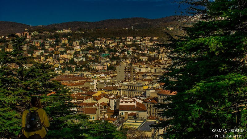
Trieste gives the regional map its clearest urban anchor. It works well when the trip needs public transport, museums, food stops and a first orientation point before expanding into Karst or coastal decisions.
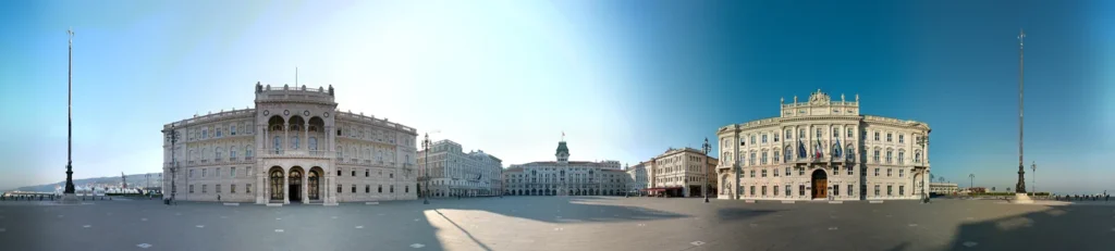
Do not use Trieste as proof that the whole region is compact. It is a strong base for one layer of the map, not a shortcut for every Friuli Venezia Giulia route.
Coast, Lagoon and Transport Planning
The coast and lagoon layer works best when the day is intentionally slower. Before relying on a public-transport route, check the official Friuli Venezia Giulia public transport service information and journey planning tools.

Transport is the main constraint in a regional map. A route that is simple by car can be fragmented by public transport, while a rail-friendly plan may miss smaller coastal or hill stops.
Mountains and Hill Routes
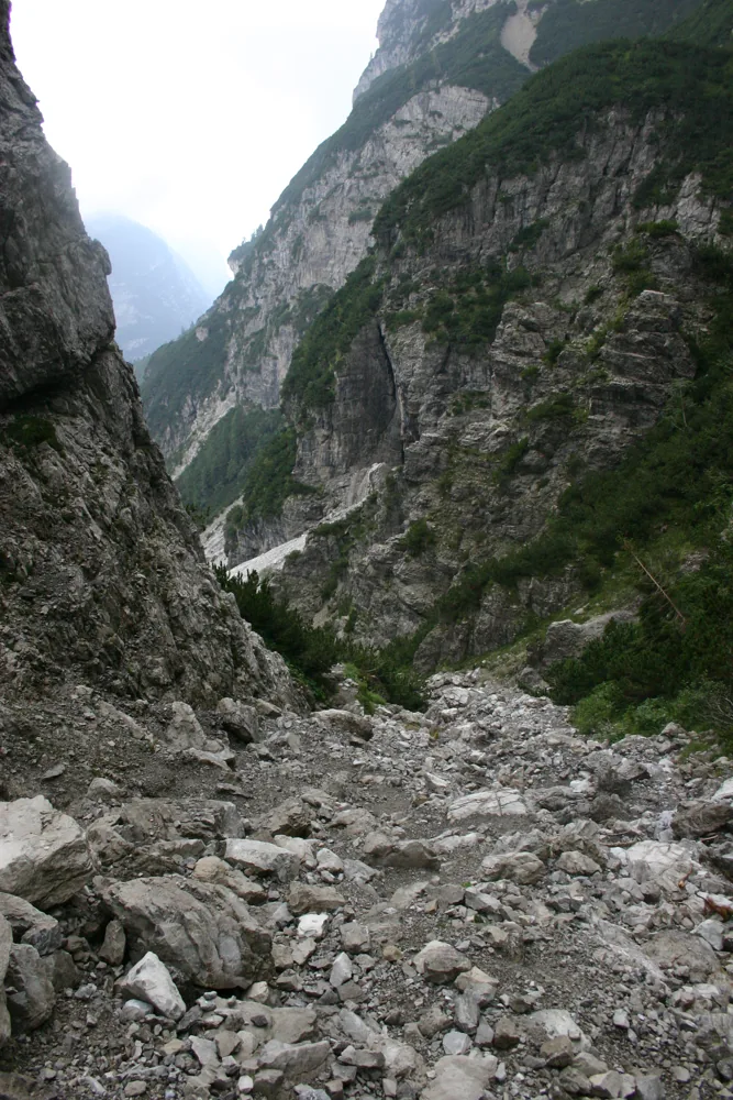
The mountain layer needs a larger map scale, current conditions and a separate timing assumption. Keep it as a dedicated route family rather than a decorative extension of Trieste or the coast.
Where to Stay in Friuli Venezia Giulia
Choose the base that matches the route layer you will actually use. A central stay helps with first orientation, while a quieter or more scenic base only makes sense when it reduces the main transfers of the trip.
Find accommodation in Friuli-Venezia Giulia
Planning Checks Before You Go
- Pick one regional layer before booking a base.
- Use official transport tools for public-transport plans.
- Do not combine coast, city and mountains unless the transfer times are verified.
Frequently Asked Questions
What should a Friuli Venezia Giulia tourist map show first?
It should separate Trieste, coast, Karst, hills and mountains so you can choose a realistic base and route layer.
Can Friuli Venezia Giulia be planned without a car?
Some city and rail-led plans can work, but smaller coastal, hill and mountain routes need a current transport check.
Is Friuli the same as Friuli Venezia Giulia?
Travelers often use Friuli loosely, but this page covers the Friuli Venezia Giulia regional planning layer.
Plan activities, insurance and flights for Friuli-Venezia Giulia
Once the map route is clear, the next practical step is checking what to book around it: guided activities, travel insurance and flight options if you are coming from abroad.
Use the activity widget below to compare current tours and tickets for Friuli-Venezia Giulia. For the travel side, you can also review insurance with IATI and compare flights before fixing dates.
Check travel insurance with IATI Compare flights for Friuli-Venezia Giulia