Miami Tourist Map: Areas, Beaches and Transit Routes
Choose Downtown or Brickell for the strongest rail and Metromover orientation, then group Little Havana or Wynwood by route. Keep the cross-bay Miami Beach visit as its own travel block. Miami city, Miami Beach, Fort Lauderdale and the Florida Keys are connected destinations, not one walkable centre.
Disclosure: this article contains affiliate links. We may earn a commission if you book accommodation, activities, insurance or flights through them, at no extra cost to you.
This page owns Miami and Greater Miami orientation. Use the Fort Lauderdale tourist map, Key West tourist map and Florida Keys tourist map for those separate travel decisions.
Interactive Miami Tourist Map
The official Greater Miami destination map provides the wider visitor layer. Use our interactive map to compare the urban core, cultural neighbourhoods, bay crossing and beach zone before choosing a hotel or daily route.
Use this interactive tourist map of Miami Tourist Map: Areas, Beaches and Transit Routes to explore the main attractions, routes, viewpoints and practical planning areas.
Open the Miami Tourist Map: Areas, Beaches and Transit Routes tourist map in Google MapsMiami Area and Transit-Reach Matrix
| Area | Best for | Useful mode | Map decision |
|---|---|---|---|
| Downtown | Urban attractions and central interchange | Metromover, rail and buses | Strong car-light orientation base |
| Brickell | South-of-river base and city access | Metromover and rail connections | Pair naturally with Downtown |
| Little Havana | Focused cultural district | Bus, trolley or planned ride | Group as a west-of-centre route |
| Wynwood and Design District | Art and design districts | Bus or planned short transfer | Pair together rather than with the beach |
| Miami Beach | Beach and Art Deco district | Cross-bay bus or road transfer | Build a separate travel block |
Downtown and Brickell Base
Downtown and Brickell form the clearest connected core. Use the Miami River as an orientation line and choose a base near the mode that serves most of the itinerary. This reduces repeated cross-bay or cross-city transfers.

Miami-Dade publishes current transit maps and guides for Metrorail, Metromover, Metrobus and other county services. Verify the latest route, fare and service details there before relying on a connection.
Little Havana, Wynwood and the Design District
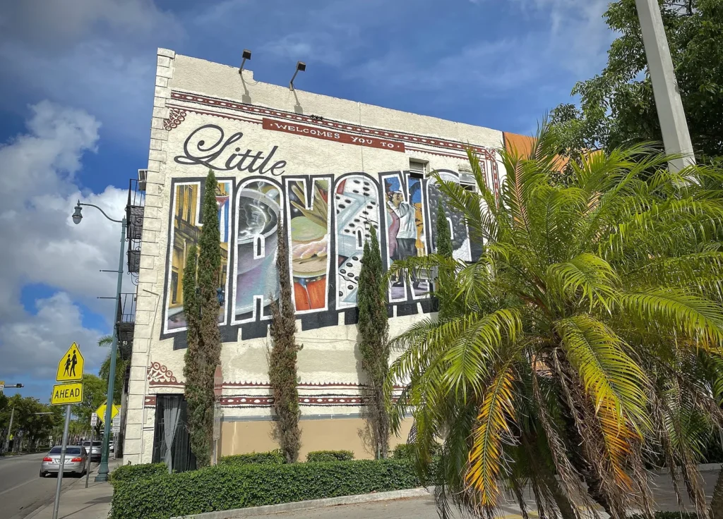
Little Havana sits west of the core and works as a focused district visit. Build it around one arrival and departure route rather than using it as a quick stop between Downtown and Miami Beach.
Wynwood and the Design District form a different north-of-centre layer. Pairing those districts can be more coherent than crossing the city repeatedly. Keep the map honest about transfer time and do not present cultural neighbourhoods as decorative detours.
Miami Beach Is a Separate Map Layer
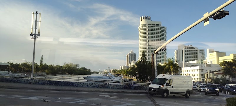
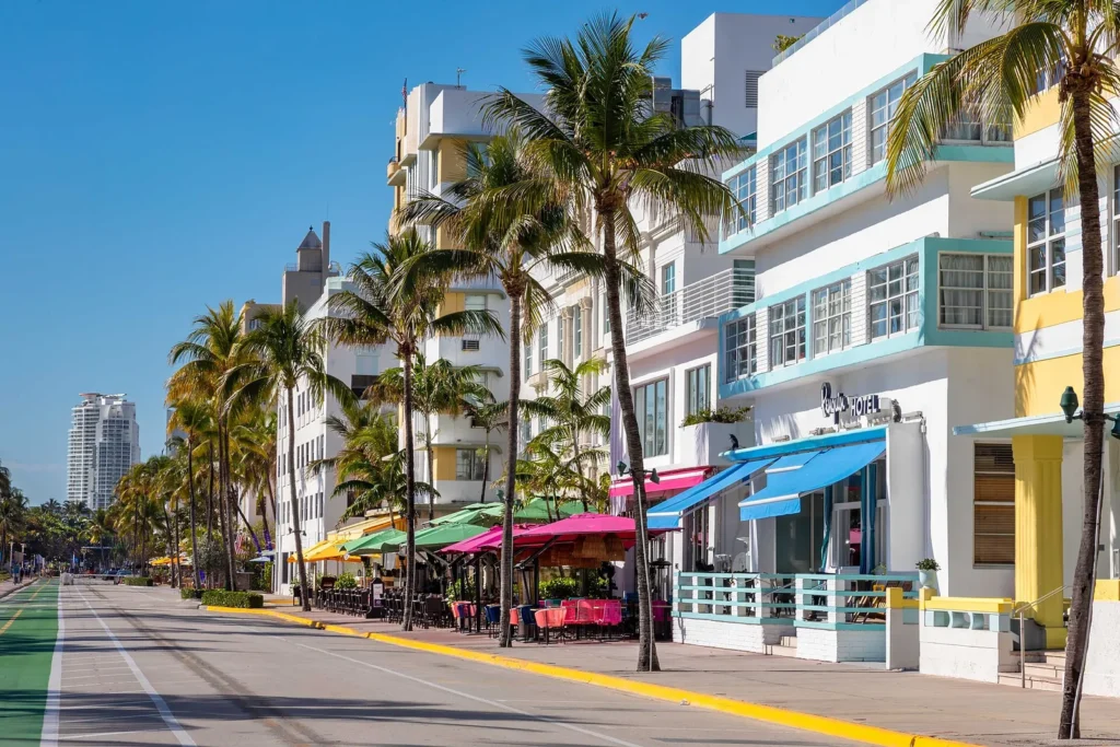
Miami Beach is a separate municipality across the bay. Ocean Drive and the Art Deco district belong to the beach route, not the Downtown walking core. Decide whether the beach is the day's main destination before adding mainland neighbourhoods.
The Keys and Fort Lauderdale sit farther outside this cross-bay plan. Use their own maps and avoid turning a Miami city article into a regional road-trip guide.
Three Miami Route Options
Urban-core day: Downtown, Metromover orientation and Brickell.
Cultural-district day: Little Havana plus one compatible mainland district, with a planned transfer.
Beach day: cross the bay once, focus on the selected Miami Beach zone and return without stacking a distant mainland loop.
Where to Stay in Miami
Downtown suits an urban and transit-led plan. Brickell offers similar core access with a different evening feel. Miami Beach is the correct base when beach time dominates, but it adds a cross-bay transfer to mainland routes. Choose the base for the majority of the trip.
Practical Miami Map Checks
- Use current county transit publications rather than saved fare or timetable claims.
- Keep Miami city and Miami Beach distinct when estimating travel.
- Group mainland districts by geography instead of alternating across the bay.
- Open the Keys and Fort Lauderdale as separate routes, not last-minute extensions.
Frequently Asked Questions
What should a Miami tourist map include?
It should separate Downtown and Brickell, Little Havana, Wynwood and the Design District, Coconut Grove or other south-city choices, and the cross-bay Miami Beach layer.
Can Miami be explored without a car?
A transit-led plan works best when the base and selected areas align with current rail, mover and bus routes. Some district combinations still need a separate transfer, so check the latest official maps.
Are Miami and Miami Beach the same city?
No. They are separate municipalities divided by the bay. A useful tourist map treats the beach as a connected but distinct route zone.
Plan activities, insurance and flights for Miami
Once the map route is clear, the next practical step is checking what to book around it: guided activities, travel insurance and flight options if you are coming from abroad.
Use the activity widget below to compare current tours and tickets for Miami. For the travel side, you can also review insurance with IATI and compare flights before fixing dates.