La Vera Tourist Map: Villages, Gorges and Extremadura Routes
We are Ana and Kevin, and La Vera is a place that only makes sense when you read it village by village. The comarca sits in northern Extremadura, under the Sierra de Gredos, with historic villages, monastery stops, paprika country, gorges and natural pools close enough to combine if you plan the map well. This La Vera tourist map helps you connect the route without turning every day into a zigzag.
Disclosure: this article contains affiliate links. We may earn a commission if you book accommodation, activities, insurance or flights through them, at no extra cost to you.
If you are looking for mapa de La Vera, mapa pueblos de La Vera, mapa comarca de La Vera or an English planning guide for the region, the key is to group towns and natural spots by corridor. For nearby planning, compare this page with our Jerte Valley tourist map and our wider Spain tourist map.
Interactive Tourist Map of La Vera
Use the map to connect Jarandilla, Cuacos de Yuste, Yuste Monastery, Garganta la Olla, Jaraiz, Losar, Villanueva and the gorge areas. Distances look short, but the best plan is to slow down and combine one or two villages with one natural stop per day.
Load the La Vera map to connect villages, Yuste, Jarandilla, Garganta la Olla, Losar and natural pool areas.
Open the La Vera tourist map in Google MapsBest Places to Mark on the La Vera Map
Jarandilla de la Vera and the western route
Jarandilla works well as a practical western anchor. It has a strong historic center, the castle-parador area, restaurants and easy access toward Losar, Cuacos and Yuste. If you are searching for a specific Jarandilla de la Vera map, use it as a base rather than only a stop.
Cuacos de Yuste and Yuste Monastery
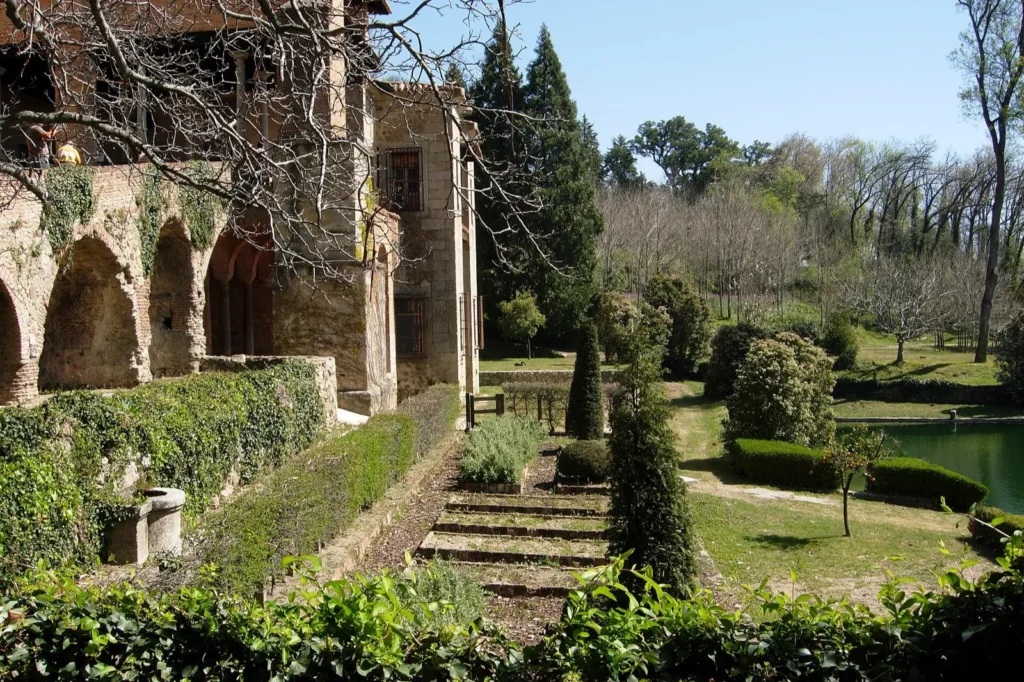
Cuacos de Yuste and the monastery are the historical heart of the route. Yuste is the place to pin when you want context, shade, architecture and a slower morning. Pair it with Garganta la Olla or Jarandilla instead of forcing the whole comarca into the same day.
Garganta la Olla, Jaraiz and paprika country
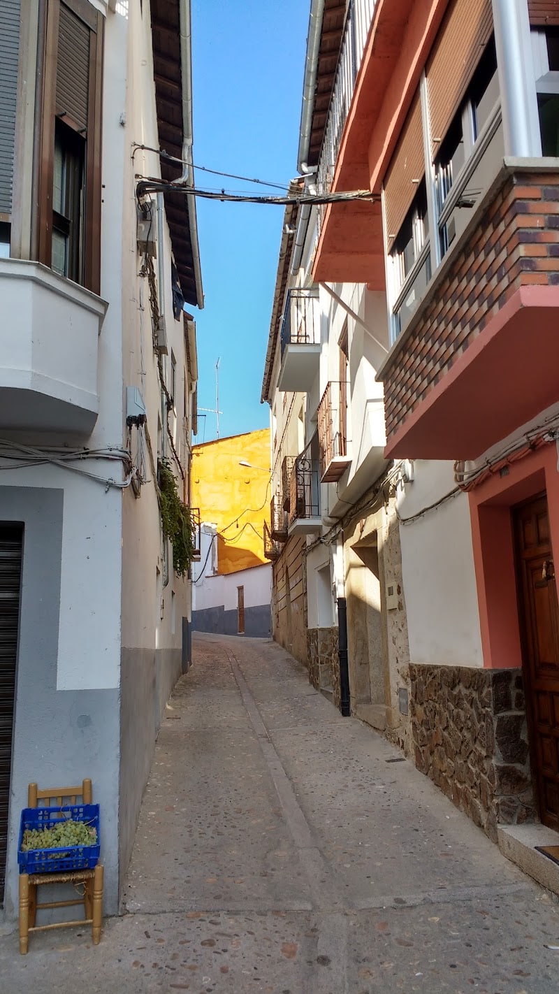
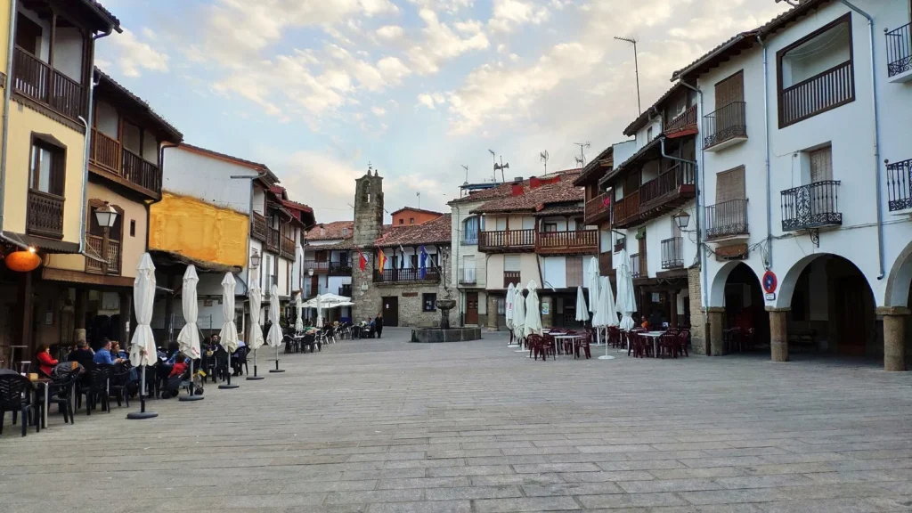
Garganta la Olla is one of the best villages for traditional architecture and narrow-street wandering. Jaraiz is more practical and strongly linked to pimenton de La Vera. Together they make a good central map section for food, villages and short drives.
Losar, Puente de Cuartos and natural pools
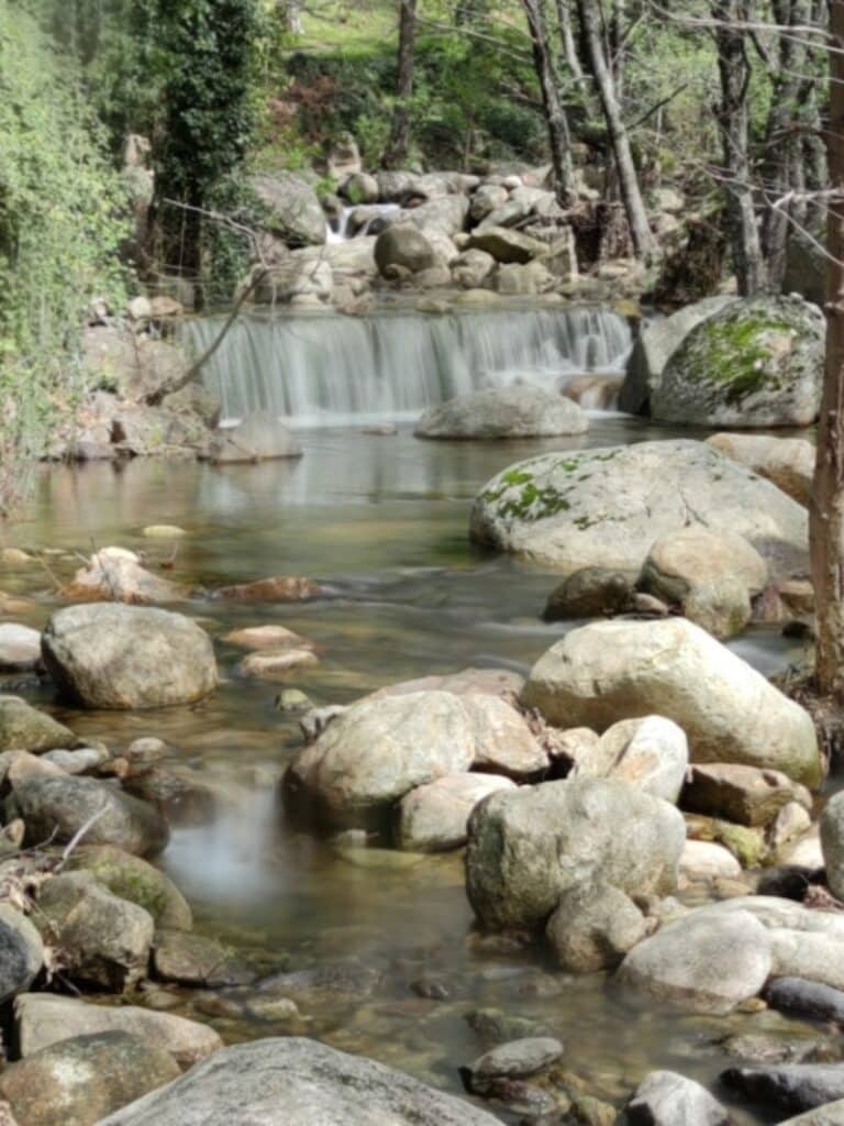
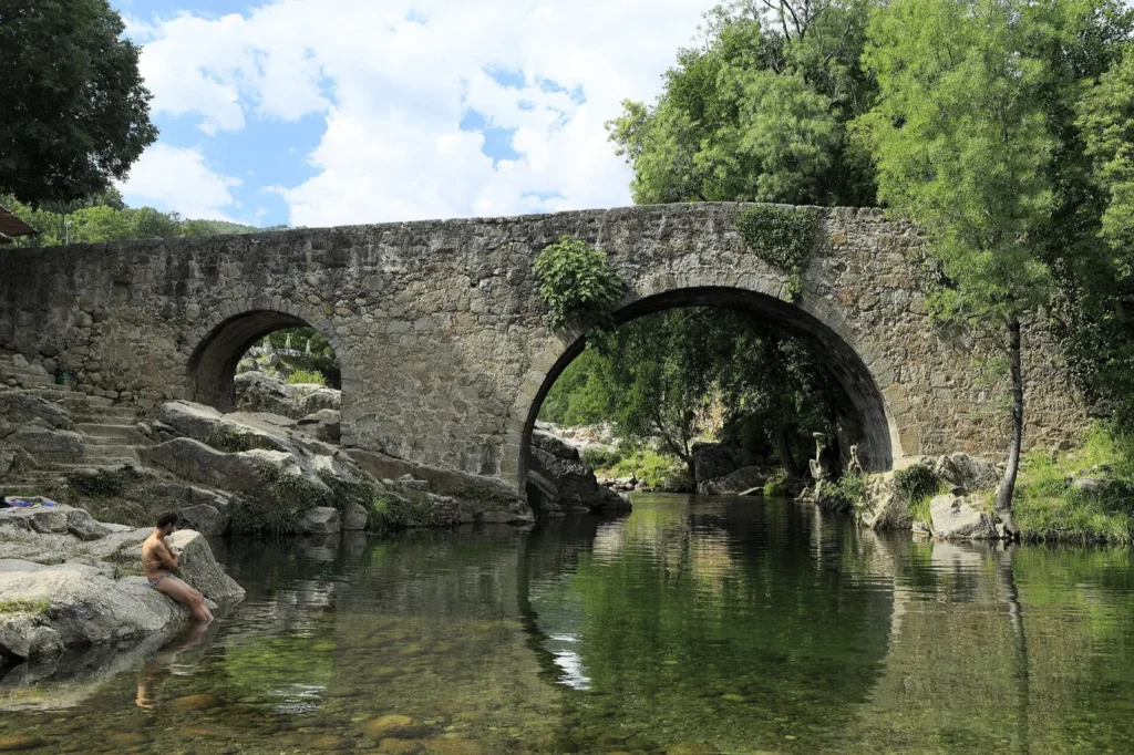
Losar de la Vera and Puente de Cuartos are useful when your trip is about water, gorges and summer swims. Check access and parking before going in high season, because the most beautiful natural spots can become busy quickly.
Villanueva de la Vera and the eastern side
Villanueva gives the map a strong eastern finish. It is a good choice if you want a village walk, nearby natural pool areas and a route that does not stop only at the best-known western towns.
La Vera Route Ideas from the Map
One day: Jarandilla, Cuacos de Yuste, Yuste Monastery and Garganta la Olla. Keep the day simple and leave time for lunch.
Two days: day one around Jarandilla, Cuacos and Yuste; day two around Jaraiz, Garganta la Olla, Losar and Puente de Cuartos.
Slow village route: start in Jarandilla, sleep nearby, then move east through Jaraiz, Losar and Villanueva with one gorge or pool stop each day.
Nature-focused route: use villages as bases, but plan mornings around gorges, pools and shaded walks before the hottest hours.
Where to Stay in La Vera
For a first trip, we would compare stays around Jarandilla de la Vera, Cuacos de Yuste, Garganta la Olla, Jaraiz de la Vera, Losar de la Vera and Villanueva de la Vera. Jarandilla is practical, Garganta la Olla is more atmospheric, and the eastern villages help if you want a quieter base near natural pools.
Find accommodation in La Vera, Extremadura
Plan activities, insurance and flights for La Vera
Once the map route is clear, the next practical step is checking what to book around it: guided activities, travel insurance and flight options if you are coming from abroad.
Use the activity widget below to compare current tours and tickets for La Vera. For the travel side, you can also review insurance with IATI and compare flights before fixing dates.
Check travel insurance with IATI Compare flights for La Vera
La Vera Map Planning Checklist
Best first anchor: Jarandilla or Cuacos if you want history; Losar or Villanueva if you want nature and water stops.
Best food note: leave room for pimenton de La Vera, local stews, migas and simple village meals.
Best summer warning: natural pools need early starts, parking patience and respect for local rules.
Best route strategy: do not chase every village in one day. La Vera is better when the map breathes.
Frequently Asked Questions about the La Vera Tourist Map
What should be on a map of La Vera?
A useful map of La Vera should include Jarandilla, Cuacos de Yuste, Yuste Monastery, Garganta la Olla, Jaraiz, Losar, Villanueva and the main gorge or natural pool areas.
Which village is best as a base in La Vera?
Jarandilla is practical for a first stay, Garganta la Olla is atmospheric, and Losar or Villanueva are useful if your route focuses more on natural pools and quieter village stops.
How many days do you need in La Vera?
One day gives you a taste of Yuste and one or two villages. Two or three days are much better if you want villages, food, gorges and time without rushing.
Can La Vera be combined with Jerte Valley?
Yes. La Vera and Jerte Valley work well together on a northern Extremadura route, especially if you enjoy mountain villages, water areas and slow rural driving.