Welcome to Baja California Sur
Dive into the magic of Baja California Sur, an enchanting region boasting over 2,000 species of flora and fauna, many exclusive to this locale. Marvel at the captivating blue waters of the Sea of Cortez, the mesmerizing landscapes of Sierra de la Laguna, and immerse yourself in the culturally vibrant city of La Paz. This destination is where adventure meets serenity, offering a unique travel experience.
Disclosure: this article contains affiliate links. We may earn a commission if you book accommodation, activities, insurance or flights through them, at no extra cost to you.
Getting ready for your journey? Utilize the Tourist Map of Baja California Sur, your trusted guide, to help you plan your adventure. This invaluable tool gives you an overview of the wonders that await. Packed with exciting experiences, the map aids you in charting your journey, optimizing your time in this stunning region.
Use this interactive tourist map of State of Baja California Sur to explore the main attractions, routes, viewpoints and practical planning areas.
Open the State of Baja California Sur tourist map in Google MapsFind accommodation in State of Baja California Sur
Plan activities, insurance and flights for State of Baja California Sur
Once the map route is clear, the next practical step is checking what to book around it: guided activities, travel insurance and flight options if you are coming from abroad.
Use the activity widget below to compare current tours and tickets for State of Baja California Sur. For the travel side, you can also review insurance with IATI and compare flights before fixing dates.
Check travel insurance with IATI Compare flights for State of Baja California Sur
Discover the Wonders of Baja California Sur
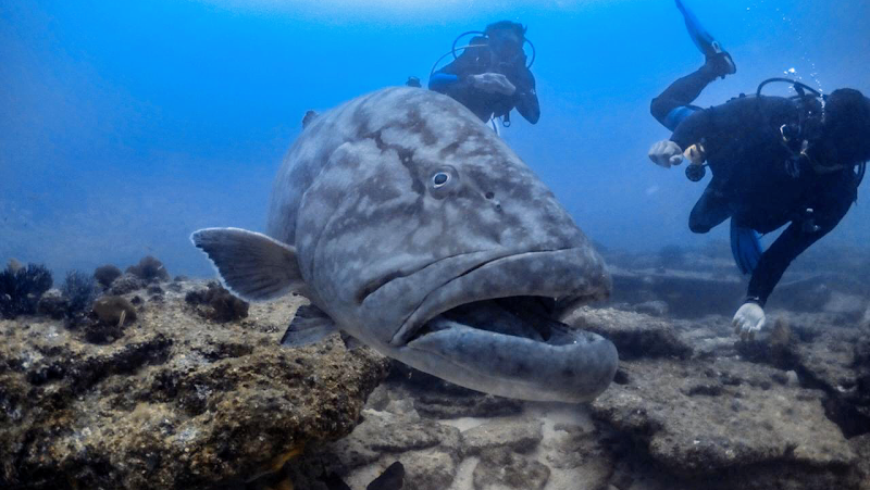
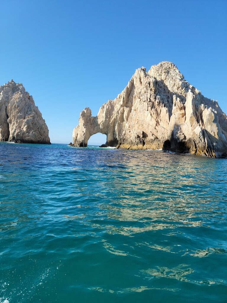
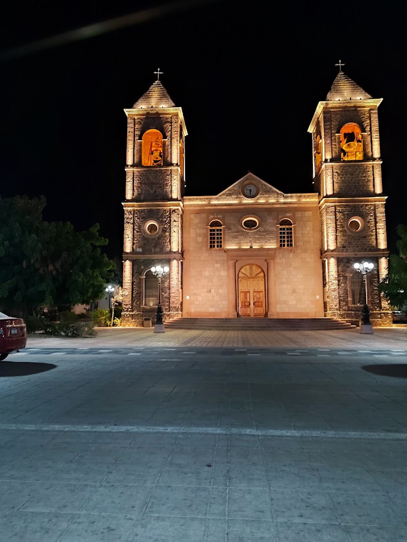
Imagine a space where the desert meets the sea, where vibrant coral reefs lie beneath the azure waves and ancient cave paintings narrate tales of the past. Welcome to Baja California Sur, a fascinating blend of natural beauty, rich history, and vibrant culture. Here you'll discover attractions that promise to take your breath away.
Top Attractions in Baja California Sur
- The magical town of Todos Santos
- The stunning Cabo Pulmo National Park
- The ancient cave paintings of Sierra de San Francisco
- The vibrant city of La Paz
- The picturesque Loreto Bay National Marine Park
Don't forget to also check out the Tourist Map of Big Sur for more coastal wonders.
How to Use This Baja California Sur Tourist Map
Use the map to separate beach bases, desert landscapes, marine parks, towns and long driving sections across the peninsula.
Best Areas to Explore in Baja California Sur
- La Paz for the waterfront and island excursions
- Los Cabos for resorts, beaches and boat trips
- Todos Santos for galleries and a slower coastal stop
- Loreto and Cabo Pulmo for nature-focused routes
Practical Planning Tips for Baja California Sur
- Do not underestimate driving distances between towns.
- Plan marine activities around weather and conservation rules.
- Choose accommodation by route segment: beach, town base or nature access.
Frequently Asked Questions about Baja California Sur
What is the best way to use this Baja California Sur tourist map?
Start by grouping nearby sights, then choose accommodation and transport around the route that saves the most time. The map is most useful when you use it to avoid unnecessary backtracking.
Where should I stay when visiting Baja California Sur?
Choose a base close to the places you will visit most, or stay near a reliable transport link if your itinerary covers several areas. This keeps the trip simpler and usually reduces daily travel time.
How many days do I need for Baja California Sur?
A short visit can cover the main highlights, but adding extra time gives you space for viewpoints, local neighborhoods, museums, walks and slower meals without rushing the itinerary.