Glacier Bay National Park Map: Glaciers, Bartlett Cove and Boat Routes
We are Ana and Kevin, and Glacier Bay is not a park you read like a normal road map. Most of the experience happens by water, with Bartlett Cove as the practical land base and the bay arms, tidewater glaciers, wildlife areas and seasonal access rules shaping the route. This Glacier Bay National Park map helps you understand what can be planned from land, what depends on boat access and how to connect the park with a wider Alaska trip.
Disclosure: this article contains affiliate links. We may earn a commission if you book accommodation, activities, insurance or flights through them, at no extra cost to you.
If you are searching for a map of Glacier Bay National Park Alaska, a Glacier Bay National Park and Preserve map or a practical tourist map, start with logistics. Glacier Bay is about arrival points, water routes, weather, wildlife distance and realistic expectations. For more Alaska and national park planning, compare this page with our Denali National Park tourist map, Glacier National Park tourist map, Mount Rainier National Park tourist map and United States tourist map.
Interactive Glacier Bay National Park Map
Use the map to separate Bartlett Cove, the visitor services area, bay arms, major glacier viewpoints and water-based route planning. Distances across the bay are large, and the best route depends on whether you arrive by cruise, tour boat, kayak or independent Alaska itinerary.
Load the Glacier Bay map to understand Bartlett Cove, the bay arms, major glaciers, boat routes and nearby Alaska planning points.
Open the Glacier Bay map in Google MapsHow to Read Glacier Bay on the Map
Bartlett Cove: the practical land base
Bartlett Cove is where the map becomes usable for most independent visitors. It is the area to mark for the visitor center, lodge, dock, campground, short trails and ranger information. If you are not arriving on a cruise itinerary, this is usually the first pin to understand.
Tidewater glaciers and upper bay routes
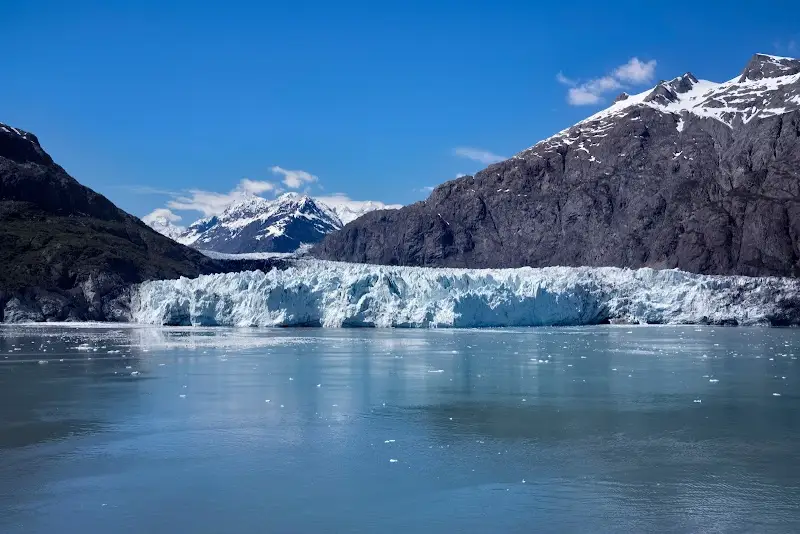
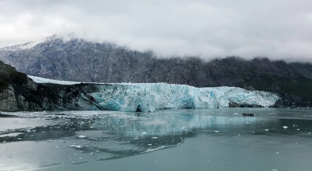
Margerie Glacier, Johns Hopkins Glacier and other tidewater glacier areas are the visual reason many people search for the map. But they are not casual road stops. Boat routes, weather, ice conditions and wildlife closures can change what is realistic on a given day.
Johns Hopkins Inlet and seasonal access
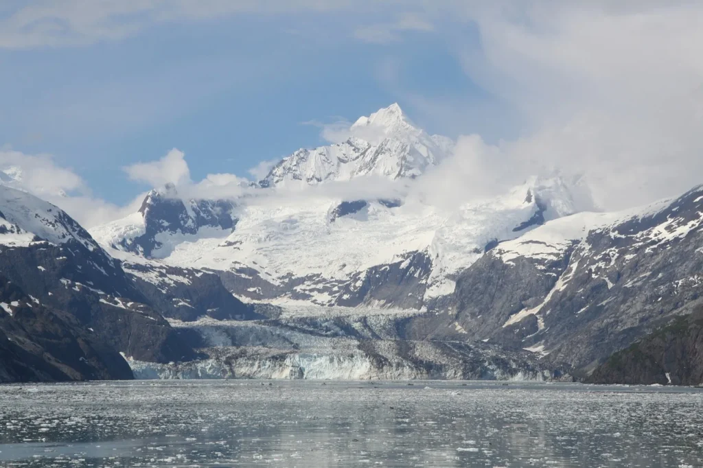
Johns Hopkins Inlet is one of the most important map lessons in Glacier Bay: the most dramatic areas are also sensitive. Seasonal restrictions help protect wildlife, so use the map as a planning tool, then confirm current access with official park information before committing to a route.
Wildlife and water distance
Whales, seals, bears and seabirds make Glacier Bay special, but the map should not encourage chasing wildlife. Keep respectful distances, plan with licensed operators when needed and treat travel time on the water as part of the experience.
Route Ideas from the Glacier Bay Map
Land-based short visit: Bartlett Cove, visitor center, dock area, forest trail and lodge viewpoint. This is the simplest map route without a long boat plan.
Classic boat day: Bartlett Cove departure, bay wildlife viewing, tidewater glacier viewpoints and return with enough flexibility for weather.
Kayak-focused plan: use Bartlett Cove for orientation, then plan conservative water sections with tides, weather, safety gear and park guidance.
Alaska itinerary: connect Glacier Bay with Juneau, Gustavus, Denali or other national parks only after checking transfer times carefully.
Where to Stay for Glacier Bay
For map-friendly planning, compare stays around Gustavus, Bartlett Cove and nearby Alaska connections. The best base is not just the closest pin; it is the one that matches your boat departure, flight timing and how many nights you can realistically spend near the park.
Find accommodation near Glacier Bay National Park
Plan activities, insurance and flights for Glacier Bay National Park Map
Once the map route is clear, the next practical step is checking what to book around it: guided activities, travel insurance and flight options if you are coming from abroad.
Use the activity widget below to compare current tours and tickets for Glacier Bay National Park Map. For the travel side, you can also review insurance with IATI and compare flights before fixing dates.
Check travel insurance with IATI Compare flights for Glacier Bay National Park Map
Glacier Bay Map Planning Checklist
Best first anchor: Bartlett Cove for visitor services and independent planning.
Best route question: are you visiting from a cruise, a tour boat, kayak route or a land-based Alaska itinerary?
Best safety note: weather, cold water and wildlife distance matter more than squeezing extra pins into the day.
Best mistake to avoid: assuming every glacier name on the map is reachable on your exact date.
Frequently Asked Questions about the Glacier Bay National Park Map
What should be on a Glacier Bay National Park map?
A useful map should include Bartlett Cove, the visitor center area, boat routes, tidewater glacier areas, bay arms, wildlife-sensitive zones and nearby Alaska transport points.
Can you drive through Glacier Bay National Park?
No. Glacier Bay is not a drive-through park. Most major sights are reached by water, while Bartlett Cove offers the main land-based visitor area.
Where do most Glacier Bay visits start?
Independent visits usually start around Bartlett Cove and Gustavus. Cruise passengers experience the park from the ship or permitted route.
How many days do you need for Glacier Bay?
One full day can work for a boat tour or short land visit, but two or more nights make logistics much easier if you are planning independently.