Katmai National Park Tourist Map: Brooks Camp, Valley and Backcountry
Plan a Katmai National Park map around fly-in access, Brooks Camp, Valley of Ten Thousand Smokes and remote backcountry layers.
Disclosure: this article contains affiliate links. We may earn a commission if you book accommodation, activities, insurance or flights through them, at no extra cost to you.
This page owns katmai national park visitor map decisions, brooks camp and valley of ten thousand smokes planning layers. It does not replace broader planning for alaska statewide itinerary planning, generic bear safety advice not tied to katmai routing. For wider context, use Anchorage, United States.
Interactive Katmai National Park Tourist Map
Start with the official Katmai maps, then check the specific access layer before committing the route. The map should answer movement and timing first, not just where the scenic icons are.
Use this interactive tourist map of Katmai National Park Tourist Map: Brooks Camp and Valley Routes to explore the main attractions, routes, viewpoints and practical planning areas.
Open the Katmai National Park Tourist Map: Brooks Camp and Valley Routes tourist map in Google MapsChoose the Right Katmai National Park Map Layer
| Map layer | Use it for | Planning gate |
|---|---|---|
| Brooks Camp | Best for first-time bear-viewing orientation and the safest structured base. | Confirm access and seasonal services before treating it as a normal road-trip stop. |
| Valley of Ten Thousand Smokes | Best for a geology-led day from Brooks Camp when tours operate. | Do not attach this layer unless the transport window is realistic. |
| Backcountry and coast | Best for experienced planning with air/water access and weather buffers. | Keep it separate from Brooks Camp sightseeing. |
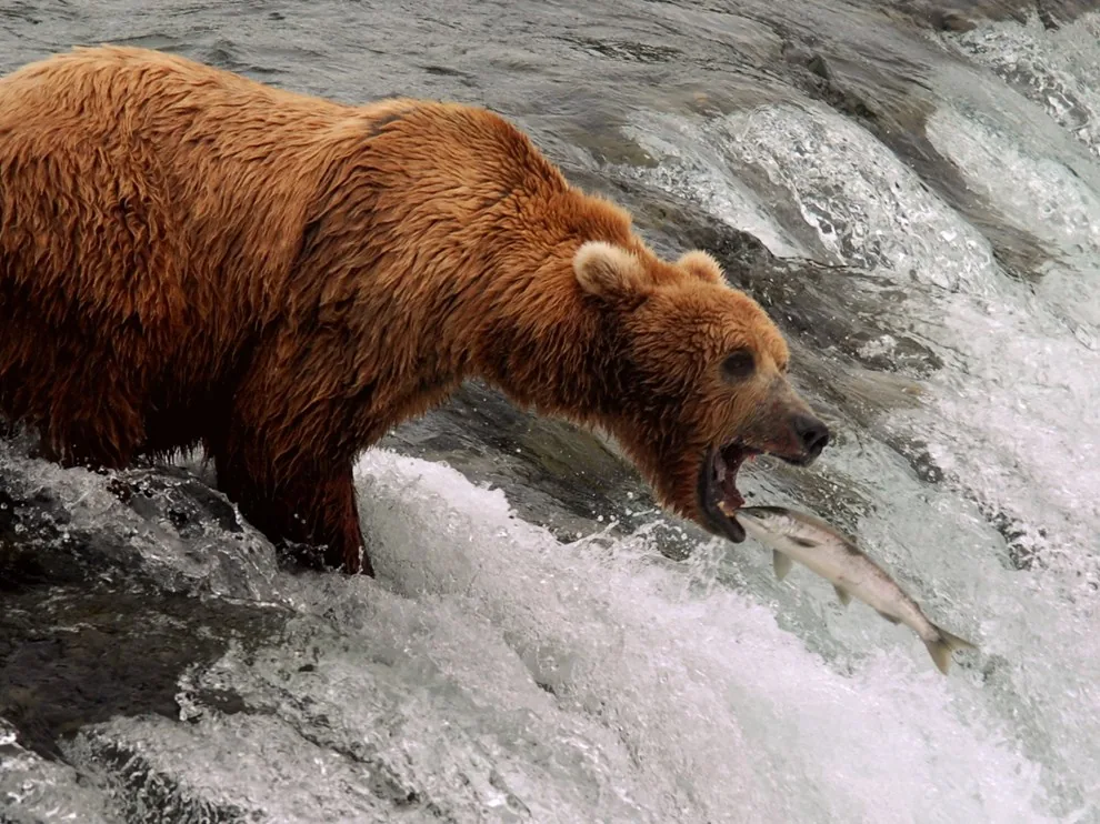
Brooks Camp Layer
Brooks Camp is the best first layer when the trip needs a clear anchor. Best for first-time bear-viewing orientation and the safest structured base. The practical gate is simple: Confirm access and seasonal services before treating it as a normal road-trip stop.
Valley of Ten Thousand Smokes Layer
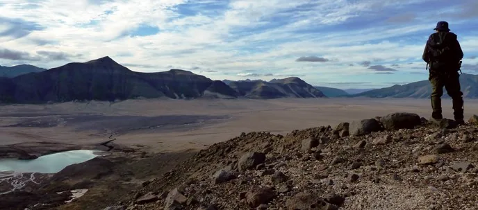
Valley of Ten Thousand Smokes should be added only after the first layer is realistic. Best for a geology-led day from Brooks Camp when tours operate. Use Brooks Camp planning guidance for the volatile details that can change the route.
Backcountry and coast Layer
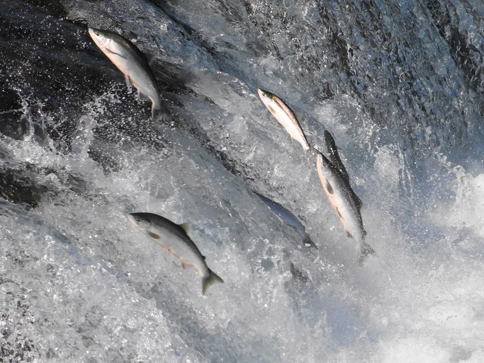
Backcountry and coast is the expansion layer. Best for experienced planning with air/water access and weather buffers. It belongs on the same map only when the transfer, access or reservation gate has been checked.
Where to Stay for Katmai National Park
Choose lodging after the map layer is clear. A close base helps when the day is corridor-led; a scenic or cheaper base only helps if it does not add a difficult transfer at the start or end of the day.
Find accommodation in Katmai National Park
Planning Checks Before You Go
- Confirm official maps and current access before treating a route as open.
- Choose one dominant layer before adding secondary stops.
- Keep long transfers and seasonal gates visible in the day plan.
Frequently Asked Questions
What should a Katmai National Park tourist map show first?
It should show the route layer that controls the visit: Brooks Camp, Valley of Ten Thousand Smokes or Backcountry and coast, plus the official access checks that can change the day.
Can I use one day for every Katmai National Park stop?
Only if the chosen layer is compact. A better plan starts with the main corridor or base, then adds nearby stops after checking current conditions.
Are access rules and road conditions stable?
No. Treat maps, roads, permits, tours and seasonal services as volatile facts and verify them on official sources close to travel.
Plan activities, insurance and flights for Katmai National Park
Once the map route is clear, the next practical step is checking what to book around it: guided activities, travel insurance and flight options if you are coming from abroad.
Use the activity widget below to compare current tours and tickets for Katmai National Park. For the travel side, you can also review insurance with IATI and compare flights before fixing dates.
Check travel insurance with IATI Compare flights for Katmai National Park