
York Tourist Map: Minster, City Walls and Walking Route
We are Ana and Kevin, and York is one of those cities where the map makes the visit calmer almost immediately. The old centre is compact, but the route can still become messy if you jump between York Minster, the Shambles, the city walls, museums, river walks and the station without a clear order. This York tourist map helps you read the city as a walkable loop instead of a list of isolated sights.
Disclosure: this article contains affiliate links. We may earn a commission if you book accommodation, activities, insurance or flights through them, at no extra cost to you.
If you are searching for a tourist map of York, York city centre map, York walking map or York attractions map, start with three layers: the Minster area, the medieval streets around the Shambles, and the wall loop. For a wider UK route, compare this page with our London tourist map, Brighton tourist map, Manchester tourist map and Chester tourist map.
Interactive Tourist Map of York
Use the map to group York Minster, the Shambles, city walls, museums, river viewpoints, station access and stay areas. York rewards slow walking, so the best map is not the one with every pin; it is the one that helps you avoid crossing the same streets all day.
Load the York map to group York Minster, the Shambles, city walls, museums, river walks, station routes and stay areas.
Open the York tourist map in Google MapsBest Areas to Read on the York Map
York Minster and the old religious quarter
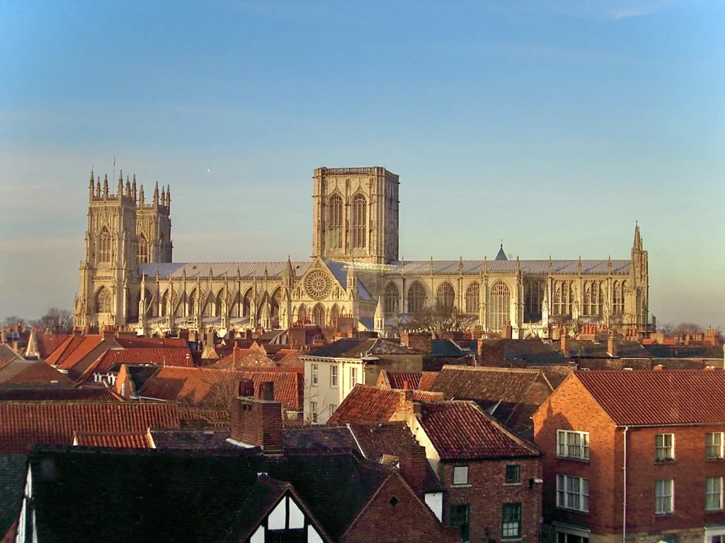
York Minster is the natural landmark for orientation. We would treat it as the first anchor, then add nearby lanes, city wall access and the museum gardens depending on time. If you only have a few hours, this is the section that gives the city its strongest identity.
The Shambles, market streets and central lanes
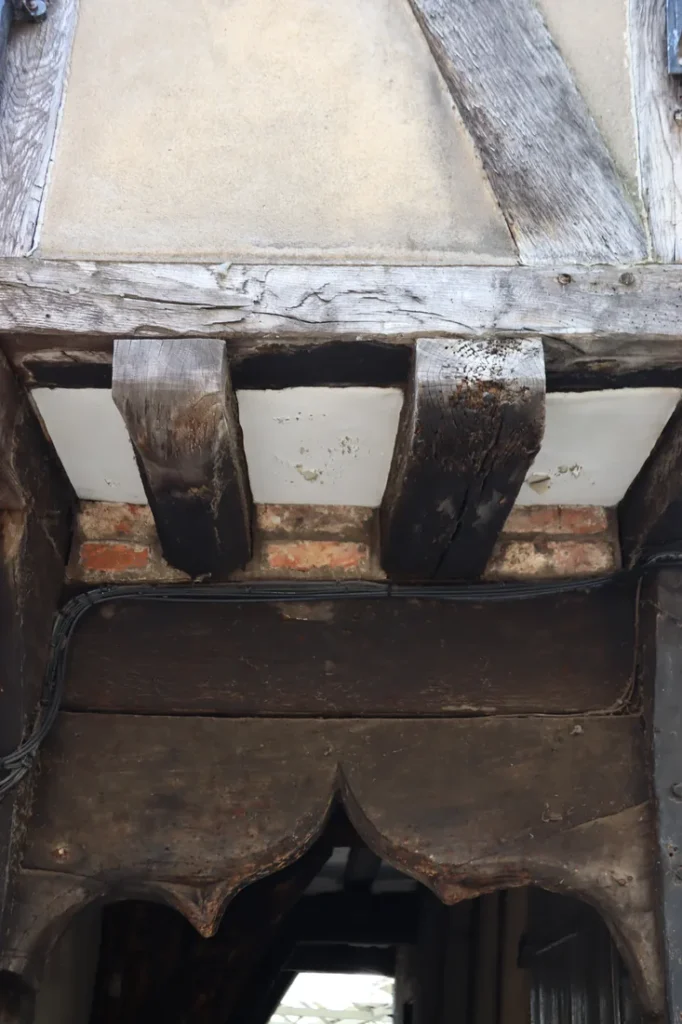
The Shambles is famous, narrow and usually busy, so it works best as part of a short central loop rather than a single photo stop. Add the market area and surrounding lanes, then step away from the busiest section before continuing toward the walls or river.
City walls and gates
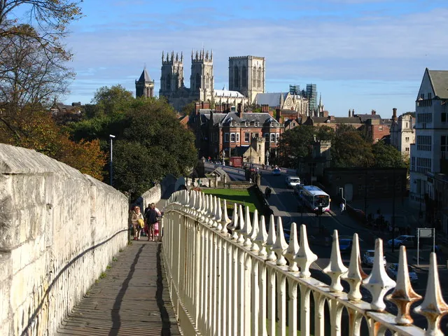
The city walls are what make York especially satisfying on foot. They give the centre a readable shape, connect several gates and viewpoints, and help you understand where the railway station sits in relation to the old city.
River Ouse, museums and station side
The river adds a softer route layer. It is useful when the old centre feels crowded, when you want a calmer walk, or when you are linking the station with the Museum Gardens, bridges and central streets.
Suggested York Walking Routes from the Map
Classic half day: station or city gate, York Minster, the Shambles, market streets, a short wall section and one river viewpoint.
Full old city day: Minster, Museum Gardens, city walls, the Shambles, river walk, Clifford's Tower area and time for one museum.
Slow photography route: start early around the Shambles, move to York Minster, then use the walls and river for wider views once the centre fills up.
Rail-friendly route: arrive at York station, enter through the walls, walk the old centre loop, then return by the river or Museum Gardens.
Where to Stay in York for Easy Map Routes
For a first visit, compare inside the city walls, near York Minster, around the station and river-side streets. Inside the walls is best for walking, the station area is practical for rail trips, and the river side can feel calmer while still staying close to the centre.
Plan activities, insurance and flights for York
Once the map route is clear, the next practical step is checking what to book around it: guided activities, travel insurance and flight options if you are coming from abroad.
Use the activity widget below to compare current tours and tickets for York. For the travel side, you can also review insurance with IATI and compare flights before fixing dates.
York Map Planning Checklist
Best first anchor: York Minster, because it is central, visible and easy to connect with the walls.
Best route shape: a central loop with one wall section and one river section.
Best crowd tip: visit the Shambles early or late, then use the walls when the centre is at its busiest.
Best mistake to avoid: treating the walls, river and old streets as separate visits; they work better as one walking map.
Frequently Asked Questions about the York Tourist Map
What should be on a York tourist map?
A useful York tourist map should include York Minster, the Shambles, the city walls, gates, Museum Gardens, River Ouse, Clifford's Tower, the station and the best stay areas inside or near the walls.
Is York easy to visit on foot?
Yes. York is very walkable, especially inside the city walls. You only need transport if you add outer suburbs, wider Yorkshire day trips or accommodation far from the centre.
How long do you need in York?
One full day covers the main old city route well. Two days are better if you want museums, slower food stops, more wall walking and time around the river.
Where should you stay in York?
Inside the walls is best for sightseeing, near the station is best for rail arrivals, and river-side streets are useful if you want a calmer base close to the centre.