Palm Springs Tourist Map: Downtown, Canyons and Tramway
Keep the downtown and design-district day compact and car-light. Plan Indian Canyons or the aerial tramway as a separate outing because each needs its own route, access check and environmental preparation. The useful Palm Springs map is a city ribbon plus two distinct outdoor branches.
Disclosure: this article contains affiliate links. We may earn a commission if you book accommodation, activities, insurance or flights through them, at no extra cost to you.
This page owns Palm Springs city orientation. It does not absorb the wider Coachella Valley or the separate Joshua Tree National Park tourist map. Use our Los Angeles tourist map and San Diego tourist map for their own city routes.
Interactive Palm Springs Tourist Map
Use the Visit Palm Springs planning guide for current city context, then read the map from north to south: Uptown and Downtown form the compact core; south Palm Springs leads toward cultural and canyon stops; the tramway branches west toward its valley station.
Use this interactive tourist map of Palm Springs Tourist Map: Downtown, Canyons and Tramway to explore the main attractions, routes, viewpoints and practical planning areas.
Open the Palm Springs Tourist Map: Downtown, Canyons and Tramway tourist map in Google MapsPalm Springs Zone and Mobility Matrix
| Zone | Best for | Mobility | Day-planning rule |
|---|---|---|---|
| Uptown and Downtown | Design, central streets and orientation | Walkable core | Keep as one compact ribbon |
| South Palm Springs | Cultural context and route transition | Short transfer or planned cycle | Group nearby stops |
| Indian Canyons | Desert and palm-oasis outing | Dedicated access plan | Check current access and conditions |
| Aerial tramway | Mountain-station outing | Separate valley-station transfer | Verify operator status before departure |
Downtown and the Design District
Palm Canyon Drive provides the clearest city spine. Use it to connect Uptown and Downtown without repeatedly returning to a parked car. The area works best when the map supports a slow linear route rather than a checklist of widely scattered buildings.
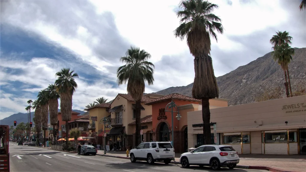
Architecture is part of the destination identity, but many properties are private or operational venues. View respectfully, use public routes and do not turn a visual map into an invitation to enter private space.
South Palm Springs and Indian Canyons
Indian Canyons is not part of the walkable downtown ribbon. Treat it as a dedicated outing and use current official information for access, environmental conditions and any restrictions. Avoid fixed opening, price or temperature claims in a reusable itinerary.
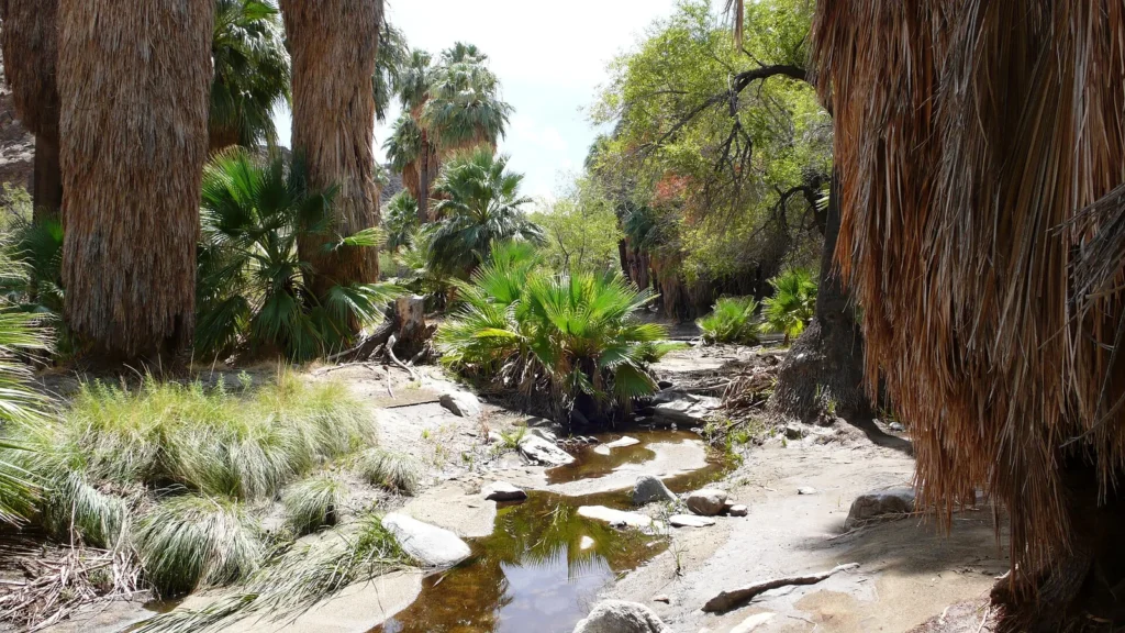
A practical route leaves room for the canyon visit itself instead of sandwiching it between several central attractions. Carry the appropriate map layer and keep the return plan clear.
Palm Springs Aerial Tramway Route
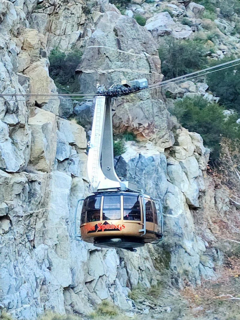
The official Palm Springs Aerial Tramway information is the source to check for current operation and visitor guidance. The tramway links the Valley Station with the Mountain Station and Mt. San Jacinto State Park facilities, so it creates a different day from Downtown.
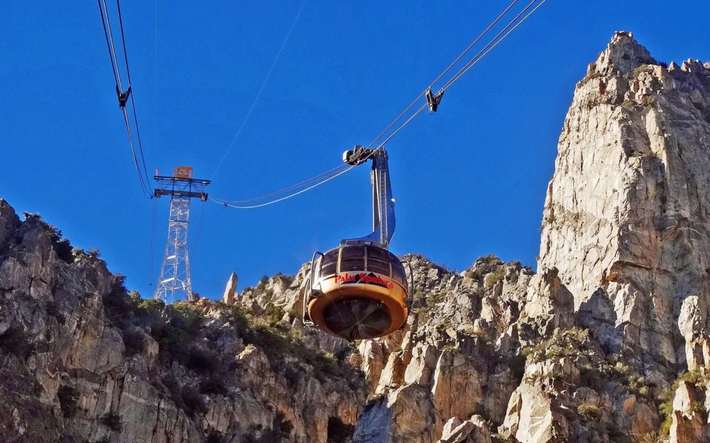
Do not rely on old ticket prices, schedules or weather assumptions. Confirm the operator information on the day and prepare for a marked environment change between the desert floor and mountain station.
Three Palm Springs Route Options
Car-light city day: Uptown, Palm Canyon Drive, Downtown and nearby design stops.
Canyon day: a compact city start followed by one Indian Canyons route with current access confirmed.
Tramway day: central orientation plus the valley-station transfer and mountain outing, without adding another remote destination.
Where to Stay in Palm Springs
Downtown or Uptown is the strongest base for a car-light city plan. A south-city base can suit travellers prioritising canyon access, while a resort farther from the central ribbon changes the transport calculation. Choose the area around the majority of the itinerary, not one distant attraction.
Find accommodation in Palm Springs
Before You Use the Map
- Separate the walkable city ribbon from canyon and tramway outings.
- Check official access, operating and environmental information before departure.
- Keep Joshua Tree as a standalone trip rather than a quick Palm Springs map pin.
- Use one outdoor branch per day when timing or conditions are uncertain.
Frequently Asked Questions
What should a Palm Springs tourist map include?
It should show Uptown and Downtown along Palm Canyon Drive, south Palm Springs, Indian Canyons and the separate aerial-tramway approach. The map should make the mobility split visible.
Is Downtown Palm Springs walkable?
The central ribbon supports a walking-led plan. Indian Canyons, the tramway valley station and wider desert destinations need separate access decisions.
Can the tramway and Indian Canyons be combined?
They are separate outings with different access and conditions. Combining them may be possible for some schedules, but the safer map plan is to select one and verify current information.
Plan activities, insurance and flights for Palm Springs
Once the map route is clear, the next practical step is checking what to book around it: guided activities, travel insurance and flight options if you are coming from abroad.
Use the activity widget below to compare current tours and tickets for Palm Springs. For the travel side, you can also review insurance with IATI and compare flights before fixing dates.
Check travel insurance with IATI Compare flights for Palm Springs