Portofino Tourist Map: Harbour, Viewpoints and Coastal Walks
We are Ana and Kevin, and Portofino is small enough to look simple on a map but busy enough to punish vague planning. The harbour, Castello Brown, lighthouse walk, beaches, boat routes and nearby bases all need a clear order if you want the visit to feel relaxed. This Portofino tourist map helps you use the village as a compact walking and coastal plan rather than only a postcard stop.
Disclosure: this article contains affiliate links. We may earn a commission if you book accommodation, activities, insurance or flights through them, at no extra cost to you.
If you are searching for a Portofino map, Portofino Italy map, tourist map of Portofino or Portofino attractions map, start with arrival. Many visitors reach Portofino from Santa Margherita Ligure, Rapallo, boat routes or coastal walks, so the useful map is wider than the harbour. For more Italian coastal planning, compare this page with our Manarola tourist map, Monterosso by the Sea tourist map and Positano tourist map.
Interactive Tourist Map of Portofino
Use the map to group the harbour, Castello Brown, lighthouse walk, beaches, ferry or boat points, coastal paths and nearby accommodation bases. Portofino is compact, but arrival and viewpoint order matter a lot.
Load the Portofino map to group the harbour, Castello Brown, lighthouse walk, beaches, boat routes, nearby bases and viewpoints.
Open the Portofino tourist map in Google MapsBest Areas to Read on the Portofino Map
Portofino harbour and waterfront
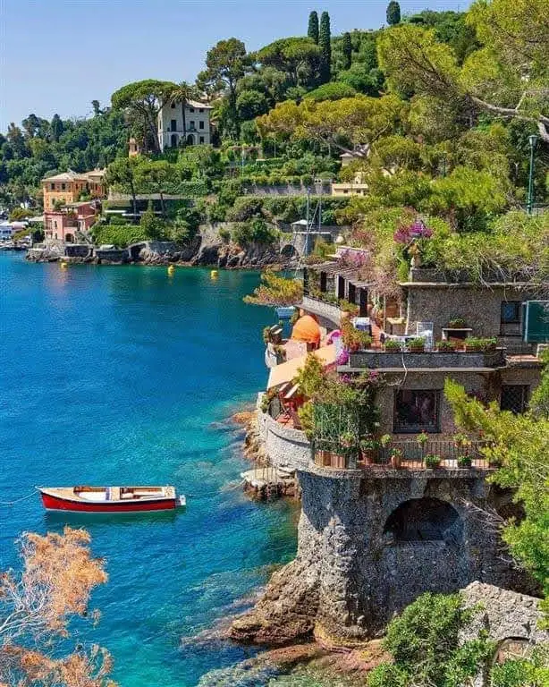
The harbour is the first anchor: bus or boat arrival, cafes, waterfront views, luxury boats and the beginning of the uphill route. We would not spend the whole visit here, but we would use it as the orientation point for everything else.
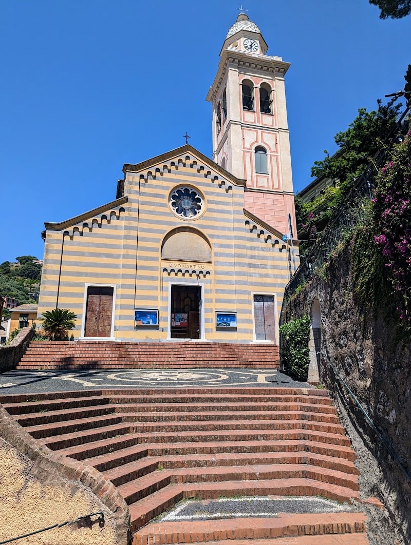
Castello Brown and viewpoint route
Castello Brown is the simplest way to turn Portofino from a short harbour stop into a real walking route. The climb gives you a better sense of the bay, the village shape and the coast beyond the waterfront.
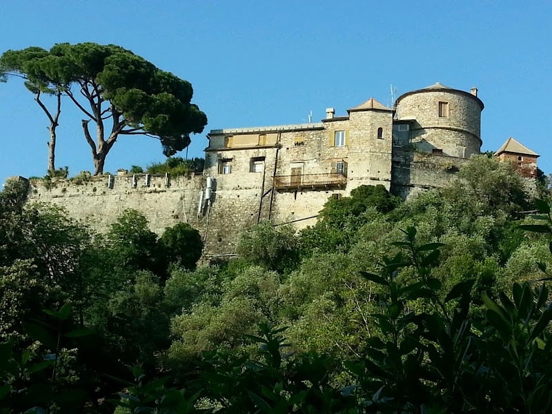
Lighthouse walk and coastal layer
The lighthouse side adds the coastal feeling that many visitors expect from Portofino. Add it when the weather is good, shoes are comfortable and the itinerary has enough time for viewpoints instead of rushing straight back to the bus or boat.
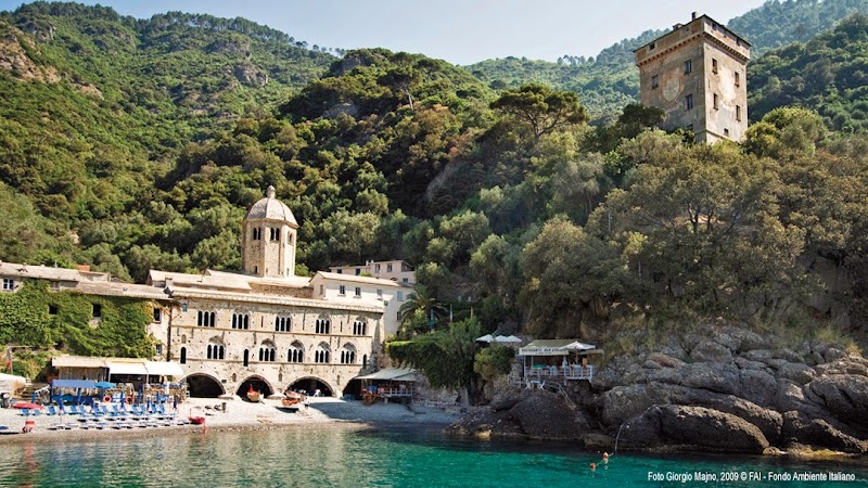
Beaches, boats and nearby bases
Portofino accommodation can be expensive, so the wider map matters. Santa Margherita Ligure, Rapallo and other Ligurian bases can make the route easier, especially if you want beaches, train access or a longer coastal stay.
Suggested Portofino Routes from the Map
Short harbour visit: arrive by bus or boat, walk the harbour, take photos from the waterfront and add one short viewpoint before leaving.
Classic half day: harbour, Castello Brown, lighthouse side or coastal viewpoint, lunch or coffee, then return by boat or bus.
Coastal day: base in Santa Margherita Ligure or Rapallo, reach Portofino, walk viewpoints, add a boat route if conditions and schedule fit.
Photography route: start early or late, avoid the busiest harbour hours, and prioritize elevated views over repeating the same waterfront angle.
Where to Stay around Portofino
For a map-friendly visit, compare Portofino village, Santa Margherita Ligure, Rapallo and Camogli. Staying in Portofino is atmospheric but expensive; Santa Margherita and Rapallo are often more practical for transport, food and flexible coastal routes.
Find accommodation around Portofino
Plan activities, insurance and flights for Portofino
Once the map route is clear, the next practical step is checking what to book around it: guided activities, travel insurance and flight options if you are coming from abroad.
Use the activity widget below to compare current tours and tickets for Portofino. For the travel side, you can also review insurance with IATI and compare flights before fixing dates.
Check travel insurance with IATI Compare flights for Portofino
Portofino Map Planning Checklist
Best first decision: arrive by bus, boat, walk or from a nearby base.
Best route shape: harbour first, then uphill viewpoint, then coast or boat route.
Best base question: do you want to pay for Portofino village or stay nearby with easier rail access?
Best mistake to avoid: planning Portofino as only a quick harbour photo stop without checking crowds, transport and viewpoint time.
Frequently Asked Questions about the Portofino Tourist Map
What should be on a Portofino tourist map?
A useful Portofino tourist map should include the harbour, Castello Brown, the lighthouse walk, beaches, ferry or boat points, coastal paths, bus arrival points and nearby bases such as Santa Margherita Ligure and Rapallo.
Is Portofino easy to walk around?
The harbour area is very compact, but viewpoint walks involve slopes and steps. Comfortable shoes matter if you add Castello Brown or the lighthouse route.
Where should you stay for Portofino?
Portofino village is special but expensive. Santa Margherita Ligure and Rapallo are often more practical for train access, restaurants and flexible day trips.
How long do you need in Portofino?
A short visit can work in two or three hours, but a half day is better if you want the harbour, Castello Brown, viewpoints and time for a boat or coastal walk.