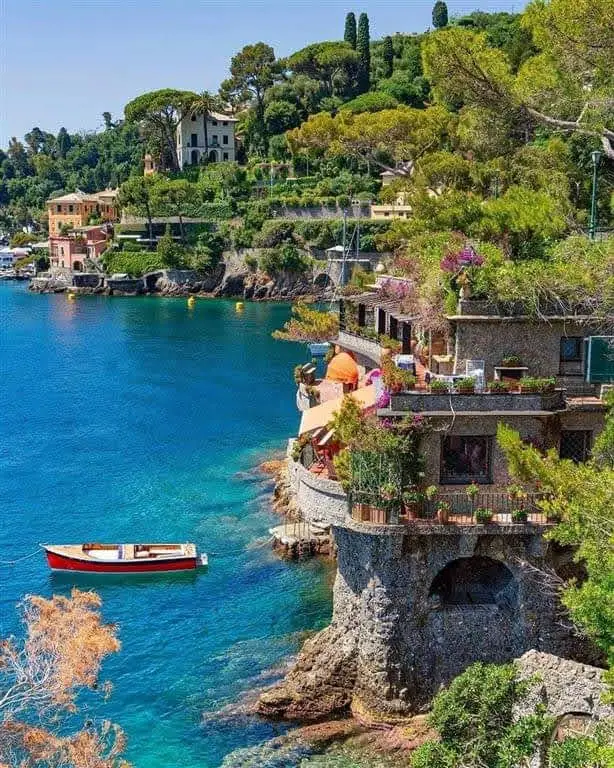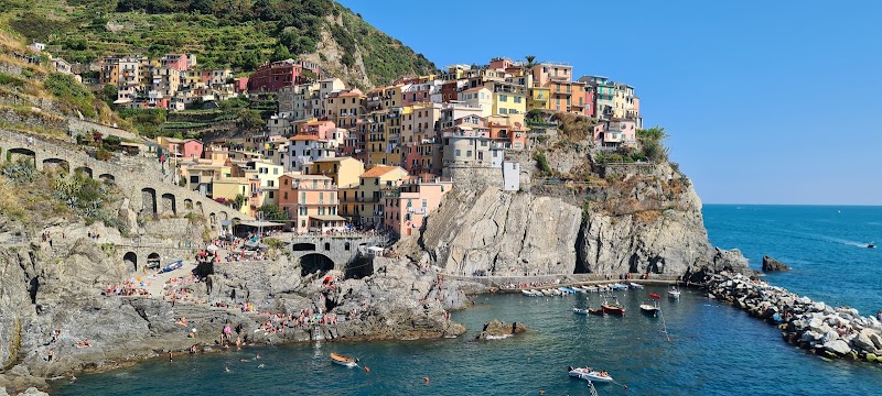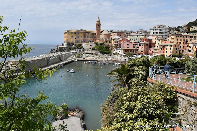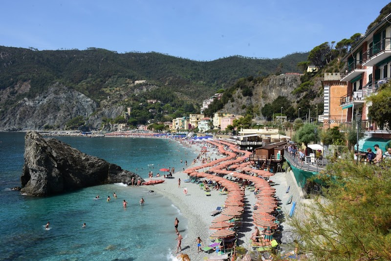
Monterosso Tourist Map: Beach Base, Station and Trails
Use Monterosso for three decisions first: whether you want the old town, the Fegina beach side or the station corridor. After that, decide if the day remains Monterosso-led or becomes a wider Cinque Terre route. Those are different map layers, and mixing them too early is the easiest way to overfill the day.
Disclosure: this article contains affiliate links. We may earn a commission if you book accommodation, activities, insurance or flights through them, at no extra cost to you.
This page owns Monterosso village, beach-base and station decisions. For the five-village route layer, use our Cinque Terre tourist map. For the broader regional context, keep the Liguria tourist map and Italy tourist map separate.
Interactive Monterosso Tourist Map
Start by locating the old town, Fegina, the railway station and the protected-area visitor services. The Monterosso Welcome Center is listed by the national park at the railway station on Via Fegina, which makes the station area a practical orientation point rather than only an arrival detail.
Use this interactive tourist map of Monterosso Tourist Map: Beach Base, Station and Trails to explore the main attractions, routes, viewpoints and practical planning areas.
Open the Monterosso Tourist Map: Beach Base, Station and Trails tourist map in Google MapsChoose the Right Monterosso Base
| Area | Best for | Map decision | Watch out for |
|---|---|---|---|
| Old town | Harbour feel, compact lanes and evening wandering | Use it when the day stays village-led | Do not treat every trail or beach stop as next door |
| Fegina | Beach time, station access and simpler arrivals | Good first base for train-led movement | Beach convenience does not replace wider Cinque Terre planning |
| Station corridor | Visitor services and route switching | Use it as the hinge between village and trail days | Check current access before committing to hikes |
Fegina and the Beach Layer
Fegina is the clearest beach-base layer on the Monterosso map. It is useful when the trip is built around arriving by train, staying near the seafront and keeping the first route compact. This does not make Fegina the same thing as a full Cinque Terre route; it simply gives the map a practical arrival side.
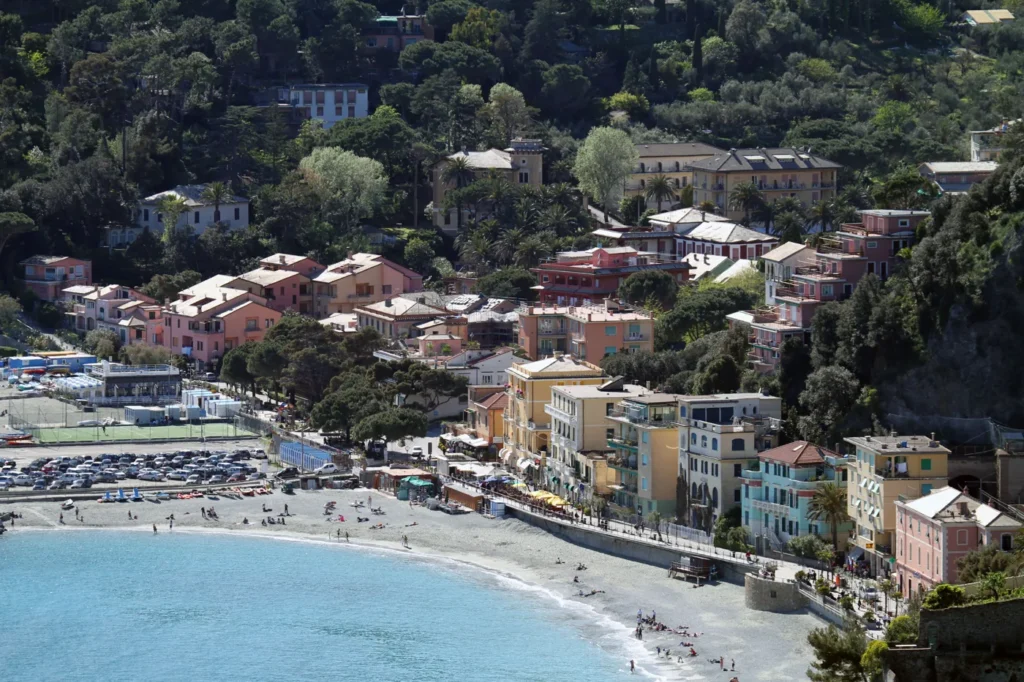
Use the beach layer for a slower Monterosso day, then add the old town only if the route still feels compact. If the plan becomes village-hopping, switch to the wider Cinque Terre map before adding more stops.
Station and Visitor-Service Corridor
The station area is the practical hinge of the page. It connects arrivals, Fegina and the protected-area information point, so it is the right place to confirm whether the day is staying local or moving into a trail or train-led plan.
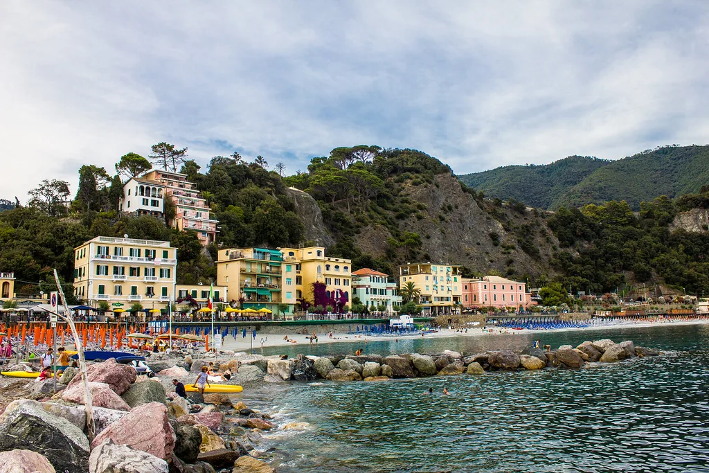
For wider movement, compare current train, boat and local access guidance from the Cinque Terre transport and access guidance. Treat schedules, trail access and sea conditions as volatile facts that need a same-week check.
When to Use the Wider Cinque Terre Map
Use Monterosso as the base page when you are choosing between Fegina, old town and station access. Move to the wider route page when the question becomes village order, trail-card logic or whether the day should be train-led rather than beach-led.
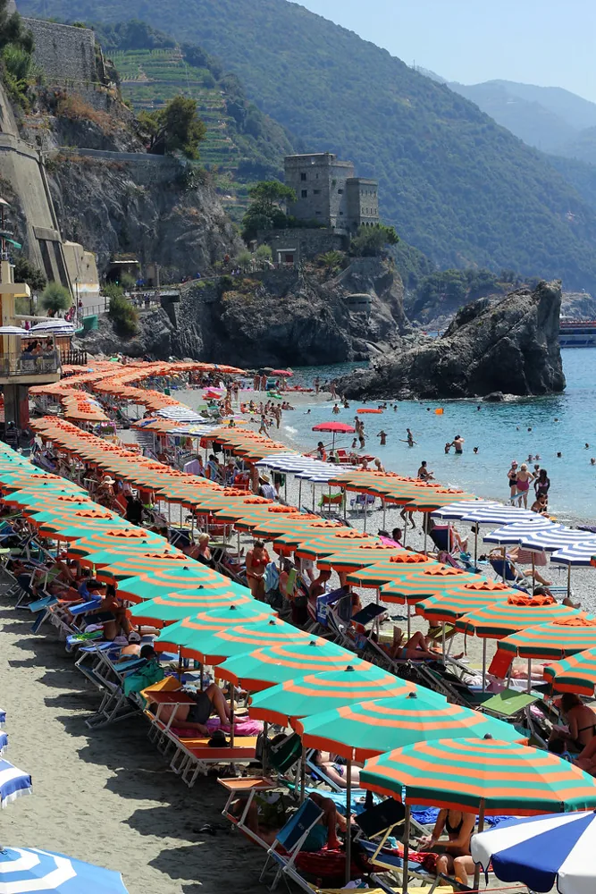
Where to Stay in Monterosso
Choose the base that matches the route layer you will actually use. A central stay helps with first orientation, while a quieter or more scenic base only makes sense when it reduces the main transfers of the trip.
Find accommodation in Monterosso by the Sea
Planning Checks Before You Go
- Confirm current trail and transport conditions before relying on a village-to-village route.
- Keep beach time and trail time as separate route layers.
- Use official park or transport sources for volatile access decisions.
Frequently Asked Questions
Is Monterosso a good Cinque Terre base?
Yes, especially when you want beach access and rail movement, but it should not replace a separate five-village route plan.
Which side of Monterosso is easiest for arrivals?
Fegina and the station corridor are usually the clearest arrival layer; the old town is better when the day is mostly local.
Should I plan Monterosso and all five villages in one map?
Use this page for Monterosso decisions, then switch to the Cinque Terre map when the route becomes village-to-village.
Plan activities, insurance and flights for Monterosso by the Sea
Once the map route is clear, the next practical step is checking what to book around it: guided activities, travel insurance and flight options if you are coming from abroad.
Use the activity widget below to compare current tours and tickets for Monterosso by the Sea. For the travel side, you can also review insurance with IATI and compare flights before fixing dates.
Check travel insurance with IATI Compare flights for Monterosso by the Sea