
Amalfi Coast Tourist Map: Towns, Beaches, Viewpoints and Routes
We are Ana and Kevin, and the Amalfi Coast is exactly where a map prevents a beautiful trip from becoming stressful. Positano, Amalfi, Ravello, Atrani, Minori, Maiori, Vietri sul Mare, beaches, ferry piers, bus stops, viewpoints and trailheads are close on paper, but cliffs, crowds and transport timing change everything. This Amalfi Coast tourist map helps you choose towns, bases and route order before you commit to a day that looks simple but moves slowly.
Disclosure: this article contains affiliate links. We may earn a commission if you book accommodation, activities, insurance or flights through them, at no extra cost to you.
If you are searching for an Amalfi Coast map, tourist map of Amalfi Coast, Amalfi Coast towns map or Amalfi Coast attractions map, start by separating coastal towns, elevated viewpoints and transport nodes. For wider Italy planning, compare this page with our Italy tourist map, Positano tourist map, Ravello tourist map, Naples tourist map and Portofino tourist map.
Interactive Tourist Map of the Amalfi Coast
Use the map to group Positano, Amalfi, Ravello, Atrani, Minori, Maiori, Vietri sul Mare, beaches, viewpoints, ferry piers, bus routes, trailheads and stay areas. The coast is scenic, but the best plan is usually a focused route, not every town in one day.
Load the Amalfi Coast map to group Positano, Amalfi, Ravello, beaches, viewpoints, ferry piers, bus routes, trailheads and practical bases.
Open the Amalfi Coast tourist map in Google MapsBest Areas to Read on the Amalfi Coast Map
Amalfi, Atrani and the central coast
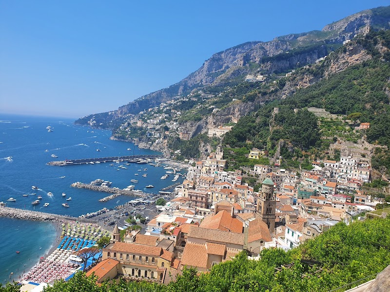
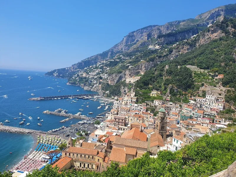
Amalfi is the practical central anchor because it has ferry links, bus connections, food stops and access toward Atrani or Ravello. If you are unsure where to begin, use Amalfi as the point that tells you whether your day is coastal, inland or transport-focused.
Positano and the western route
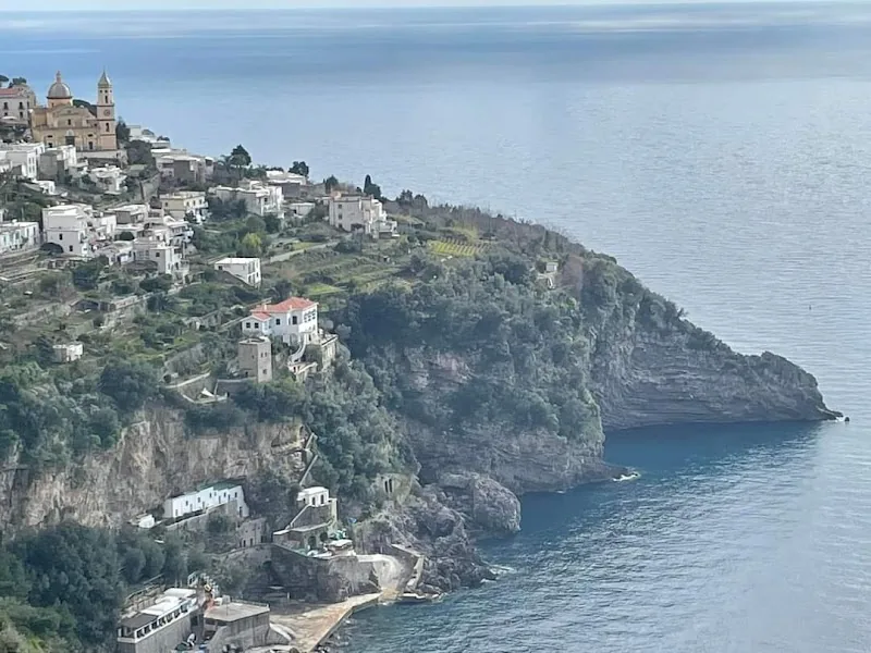
Positano is visually powerful but slow to move through. Mark beach access, ferry arrival, bus stops and the uphill/downhill route before adding extra towns. The map should help you avoid treating Positano as a quick photo stop when it often takes more energy than expected.
Ravello, gardens and elevated viewpoints
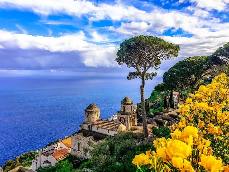
Ravello sits above the coast, so it belongs to a different map layer. Villa Rufolo, Villa Cimbrone, viewpoints and bus links can make a brilliant half day, but they should not be added casually to an already crowded coastal route.
Minori, Maiori, Vietri sul Mare and quieter bases
Minori and Maiori are useful if you want a gentler base with easier beach time. Vietri sul Mare works well at the eastern edge, especially if you are linking the coast with Salerno. These towns matter because the best base is not always the most famous town.
Suggested Amalfi Coast Routes from the Map
Classic first day: choose one base, visit Amalfi and either Positano or Ravello, then leave space for transport delays and a slow meal.
Ferry-focused route: use ferries for Positano, Amalfi and coastal views when services run well, then keep buses for shorter inland or return legs.
Viewpoint route: build the day around Ravello, Villa Rufolo, Villa Cimbrone and one coastal town instead of trying to add every beach.
Quieter town route: use Minori, Maiori, Atrani or Vietri sul Mare when you want a calmer map with shorter walks and easier food stops.
Where to Stay on the Amalfi Coast
For a map-friendly trip, compare Amalfi, Positano, Ravello, Minori/Maiori, Atrani and Salerno. Amalfi is the most balanced base, Positano is scenic but expensive and vertical, Ravello is quieter and elevated, Minori and Maiori are gentler, Atrani is compact, and Salerno is practical for trains and ferries.
Find accommodation on the Amalfi Coast
Plan activities, insurance and flights for Amalfi Coast
Once the map route is clear, the next practical step is checking what to book around it: guided activities, travel insurance and flight options if you are coming from abroad.
Use the activity widget below to compare current tours and tickets for Amalfi Coast. For the travel side, you can also review insurance with IATI and compare flights before fixing dates.
Check travel insurance with IATI Compare flights for Amalfi Coast
Amalfi Coast Map Planning Checklist
Best first decision: coastal ferry day, inland viewpoint day or quiet base day.
Best transport layer: ferry piers, bus stops and return route before extra viewpoints.
Best base rule: famous towns are not always the easiest bases; match the town to your transport plan.
Best mistake to avoid: trying to cover Positano, Amalfi, Ravello and several beaches in one rushed day.
Frequently Asked Questions about the Amalfi Coast Tourist Map
What should be on an Amalfi Coast tourist map?
A useful Amalfi Coast tourist map should include Positano, Amalfi, Ravello, Atrani, Minori, Maiori, Vietri sul Mare, beaches, ferry piers, bus stops, viewpoints, trailheads, accommodation bases and links toward Naples or Salerno.
What is the best town to use as a base on the Amalfi Coast?
Amalfi is the most balanced base for many first visits because it has central transport links. Positano is more scenic, Ravello is quieter and elevated, and Salerno is better if train and ferry logistics matter most.
Can you visit the Amalfi Coast without a car?
Yes. Ferries and buses can work well, especially in season. A map is important because road traffic, vertical streets and changing ferry schedules can make short distances feel slow.
How many days do you need for the Amalfi Coast?
One day gives you a taste of one or two places. Two or three days are much better for Positano, Amalfi, Ravello, viewpoints, beaches and slower meals without rushing every transfer.